Skip header and navigation

6 records – page 1 of 1.

View of heavily flooded street, probably Duarte Road. There are some orchard trees also being flooded. A white house is shown on left side of photo.

https://arcadiahistory.andornot.com/en/permalink/photographs598
Date
c. mid-1930's

  1 image

Date
c. mid-1930's
Subjects
Agriculture
Duarte Road
Flood control
Physical Description
8x10 b&w
ID
594
Collection
Photographs
Images
Less detail

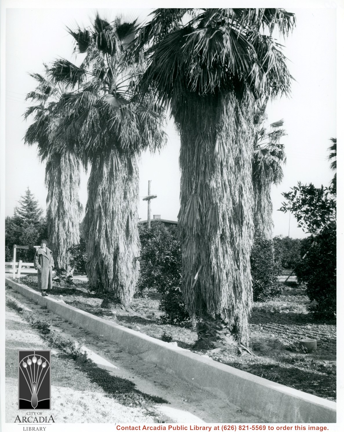
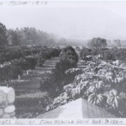
Unknown lady standing on street curbing beside three large palm trees which adjoin a citrus orchard. Location in city is not known, but possibly Santa Anita. Note deep curbs to control rain run-off.

https://arcadiahistory.andornot.com/en/permalink/photographs604
Date
c.1930's

  1 image

Date
c.1930's
Subjects
Agriculture
Santa Anita Avenue
Physical Description
8x10 b&w
ID
600
Collection
Photographs
Images
Less detail

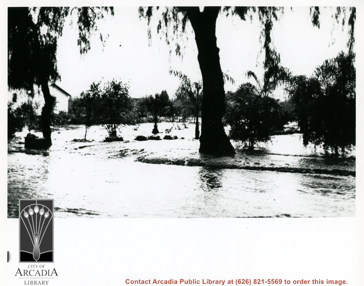
Church of Transfiguration is now located where this view shows. Path in photo is First Avenue of today. Shows what appears to be orchard and possible strawberry patch on left side of photo between First and Second Avenues.

https://arcadiahistory.andornot.com/en/permalink/photographs14
Date
c.1910-1915

  1 image

Date
c.1910-1915
Subjects
Agriculture
Church of the Transfiguration
Arcadia(City)-History-1903-1919
Physical Description
2x3 b&w vertical
ID
14
Collection
Photographs
Images
Less detail

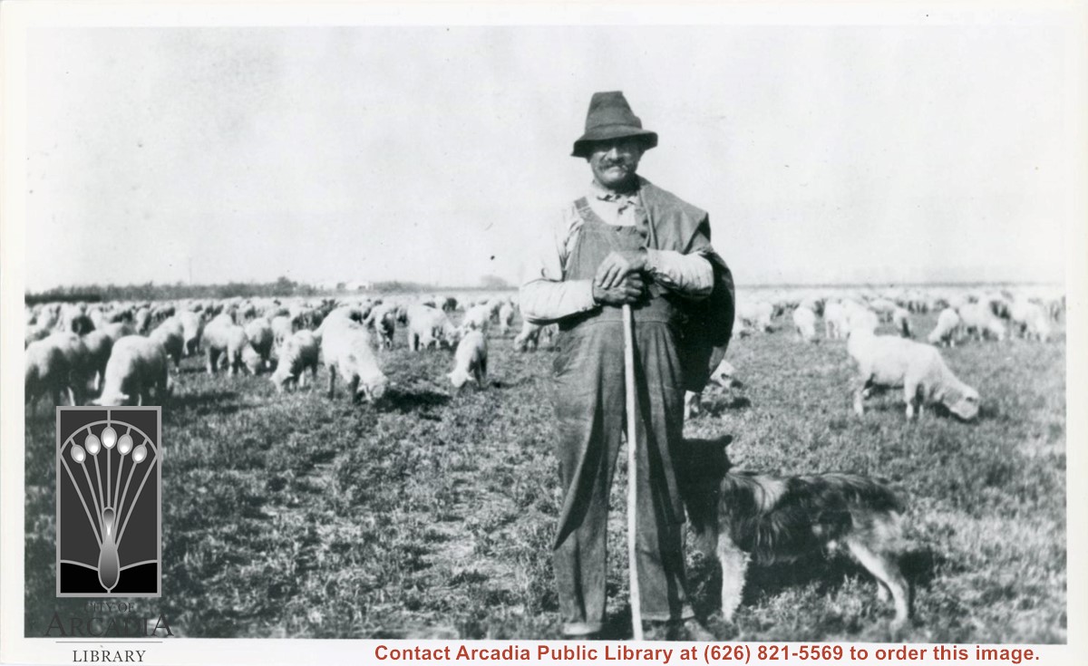
Unidentified sheepherder who would bring his flock to the fields across from Mauch ranch at Holly Avenue and Palm Avenue. He would bring the sheep after the field crop had been harvested to let them graze on stubble. Dog is also visible next to sheepherder.

https://arcadiahistory.andornot.com/en/permalink/photographs1004
Date
1926

  1 image

Date
1926
Subjects
Agriculture
Physical Description
6x10 b&w
ID
997
Collection
Photographs
Images
Less detail

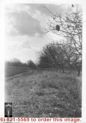
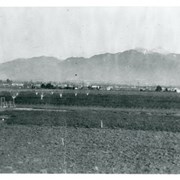
View north toward mountains from Mauch five acre ranch which was near corner of Palm Avenue and Holly Avenue. Note some young walnut trees have been set out and a chicken house has been built (left). There is snow on Mount Wilson. Street on right is Holly Avenue.

https://arcadiahistory.andornot.com/en/permalink/photographs1008
Date
1927

  1 image

Date
1927
Subjects
Agriculture
Holly Avenue
San Gabriel Mountains
Mauch, Aloyosius
Physical Description
6x10 b&w
ID
1001
Collection
Photographs
Images
Less detail

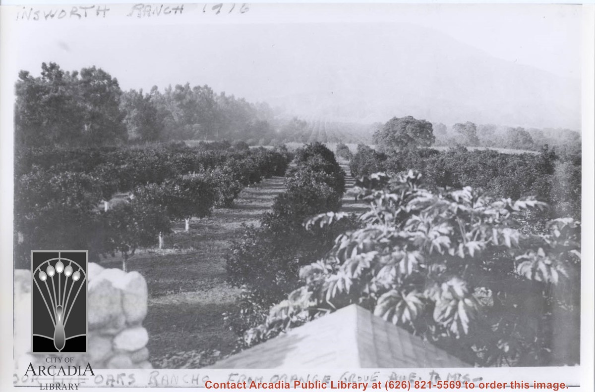
View north toward mountains and Chantry Flats Road. From vicinity just east of Santa Anita, where present Orange Grove intersects, showing orange groves. An open field apparently planted to grain and having a large oak tree, would be present site of Highland Oaks School. Eucalyptus trees lining Santa Anita are on left in photo, this property belonged to Harry and Hattie Ainsworth.

https://arcadiahistory.andornot.com/en/permalink/photographs368
Date
1916

  1 image

Date
1916
Subjects
Ainsworth, Harry
Ainsworth, Hattie
Highland Oaks Elementary School
Physical Description
7x10 b&w
ID
366
Collection
Photographs
Images
Less detail

6 records – page 1 of 1.