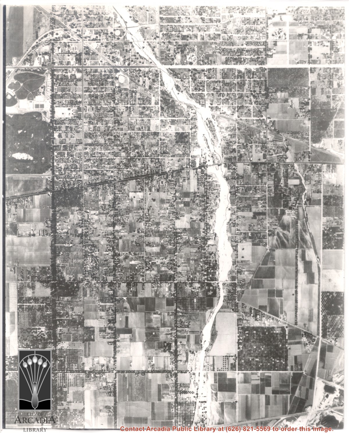
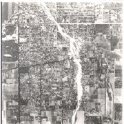
Most prominent physical feature is Santa Anita Wash running north to south almost in center of photo, just above center(?). Santa Anita Avenue is north/south street, dark with trees approximately one inch from left edge of photo. Arcadia County Park is at upper left edge of photo with baseball diamond showing.
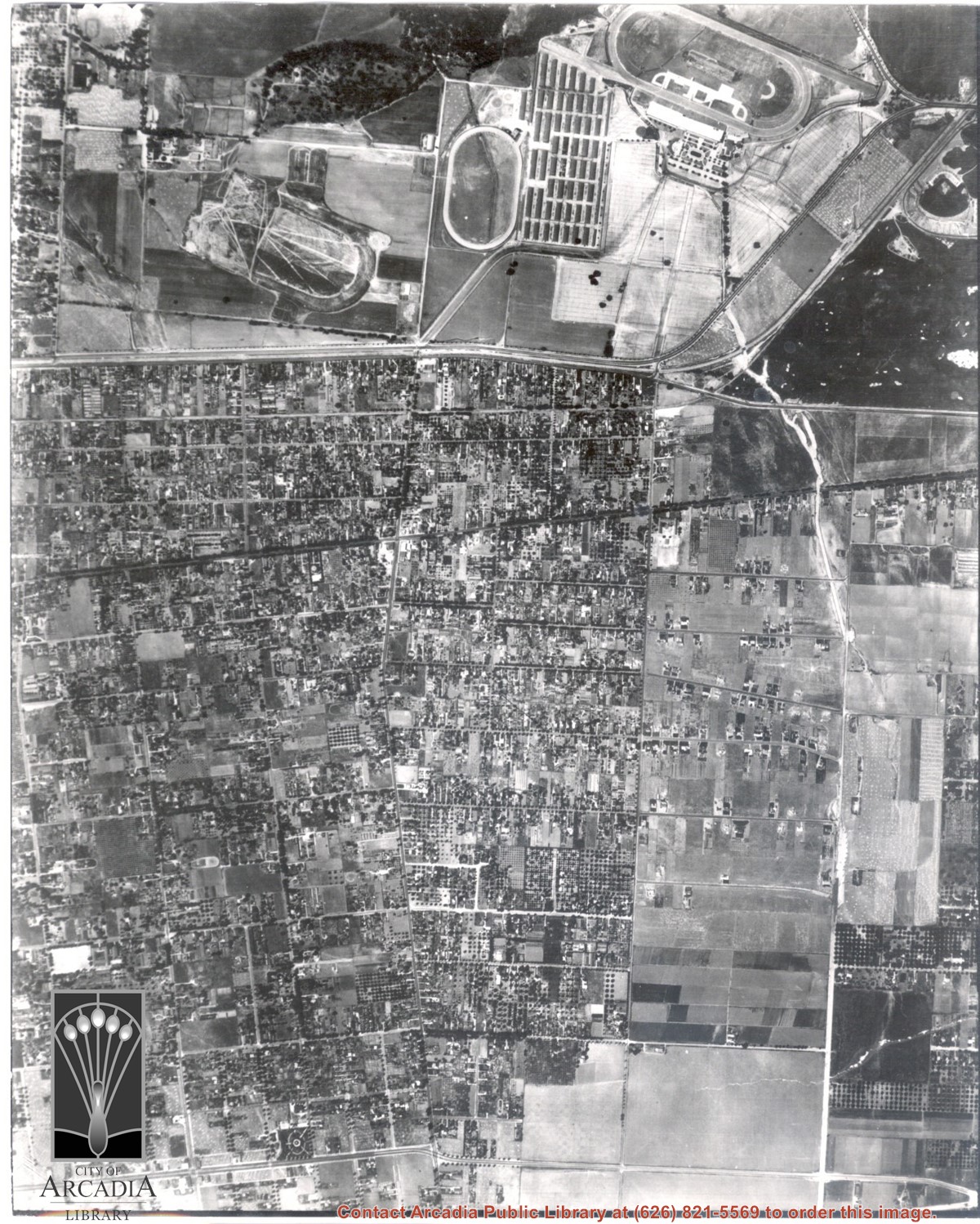
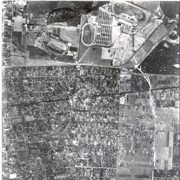
Aerial view taken over Arcadia so that it shows a large area surrounding Arcadia as well as the entire city. Clearly seen is the Santa Anita Park Race Track, and the Arcadia County Park (shown as a dark triangle in center), and the 210 Foothill Freeway crossing photo from west to east and passing north of Santa Anita Park Race Track.
Aerial view toward NE. Plane is over property of Charles W. Stewart (10 acres), and Jaspar Teague (10 acres), at 1320 S. Santa Anita Avenue, which is directly under the plane. Next street east is First Avenue, then Second Avenue, the Fourth Avenue. Reservoir is at corner of Valnett Avenue and Second Avenue and was owned by Walnut Grove Mutual Water Company (Valnett Avenue was first through street south of Duarte Road at this time and became Camino Real).
Dark, tree-lined street completely bisecting photo from west to east just above, is Duarte Road. Santa Anita Park Race Track is at upper right edge of photo. Smaller oval nearby is a training track. The incomplete oval in upper left is the race track that Anita Baldwin and Joe Smoot attempted to build in 1933 but abandoned the project. Huntington Drive and Colorado Place form a "y" just east of Santa Anita Park Race Track. Note grove of olive trees on land where City Hall is located today (240 W. Huntington Drive, Arcadia). Baseball diamond in upper right corner of photo, just below the convergence of the "y" is at Arcadia County Park. Corrected description as of 11/04/2008.