Skip header and navigation

5 records – page 1 of 1.

Olive trees (orchard). Located about where City Hall is today (1976).

https://arcadiahistory.andornot.com/en/permalink/photographs3
Date
1947

  1 image

Date
1947
Subjects
Rancho Santa Anita
Agriculture
Arcadia(City)-History-1940-1949
Physical Description
8x10 b&w 2 prints 2 slides
ID
3
Collection
Photographs
Images
Less detail

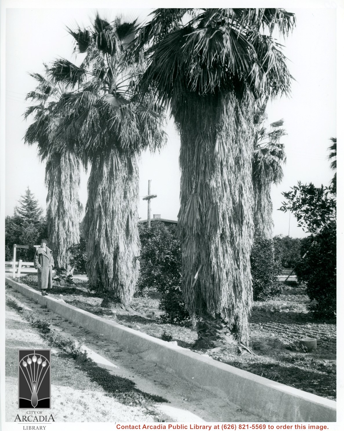
Unknown lady standing on street curbing beside three large palm trees which adjoin a citrus orchard. Location in city is not known, but possibly Santa Anita. Note deep curbs to control rain run-off.

https://arcadiahistory.andornot.com/en/permalink/photographs604
Date
c.1930's

  1 image

Date
c.1930's
Subjects
Agriculture
Santa Anita Avenue
Physical Description
8x10 b&w
ID
600
Collection
Photographs
Images
Less detail

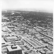
Aerial view toward the east from location about over Santa Anita Avenue at Santa Clara Street intersection. Santa Fe Railroad tracks are seen entering the city about in the center of photo. Broad white roadway seen toward left side of photo is 210 or Foothill Freeway still under construction.

https://arcadiahistory.andornot.com/en/permalink/photographs610
Date
c. 1968 or 1969

  1 image

Date
c. 1968 or 1969
Subjects
Aerial Photo Collection
Aerial views
210 Foothill Freeway
Postal Service - post office
Railroads
Santa Anita Avenue
Wheeler Avenue
Physical Description
8x10 b&w
ID
606
Collection
Photographs
Images
Less detail

Aerial view taken over Arcadia so that it shows a large area surrounding Arcadia as well as the entire city. Clearly seen is the Santa Anita Park Race Track, and the Arcadia County Park (shown as a dark triangle in center), and the 210 Foothill Freeway crossing photo from west to east and passing north of Santa Anita Park Race Track.

https://arcadiahistory.andornot.com/en/permalink/photographs648
Date
c. 1973

  1 image

Date
c. 1973
Subjects
Aerial Photo Collection
Aerial views
210 Foothill Freeway
Arcadia County Park
Santa Anita Park-1945-1980
Physical Description
8x10 b&w
ID
644
Collection
Photographs
Images
Less detail

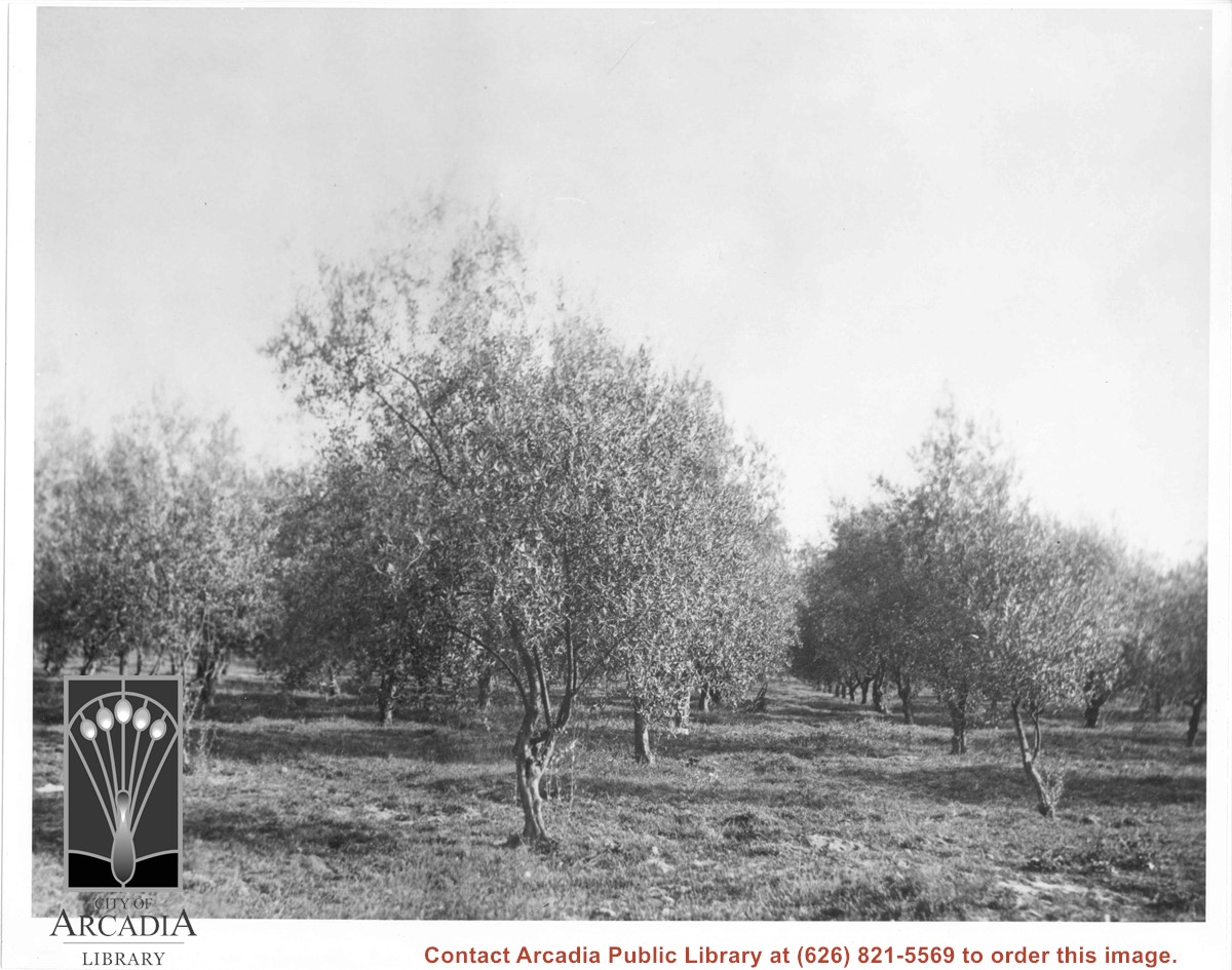
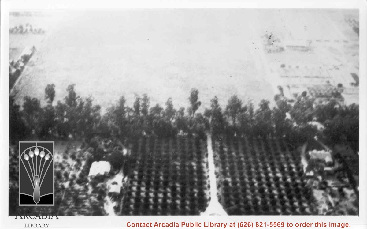
Aerial view west toward Santa Anita Ave. from above First Avenue, site of new grammar school. Long driveway heads to Jaspar N. Teague home in center of 10 acre orange grove. (Address in City Directory for this name is 1380 S. Santa Anita.) House to left and south was that of Charles W. Stewart in another 10 acre plot. Both ranches are now occupied by First Avenue Junior High School.

https://arcadiahistory.andornot.com/en/permalink/photographs12
Date
November 1929

  1 image

Date
November 1929
Subjects
Houses
Teague, Jaspar
Stewart, Charles W.
Agriculture
First Avenue Junior High School
Arcadia(City)-History-1920-1929
Physical Description
6x10 b&w
ID
12
Collection
Photographs
Images
Less detail