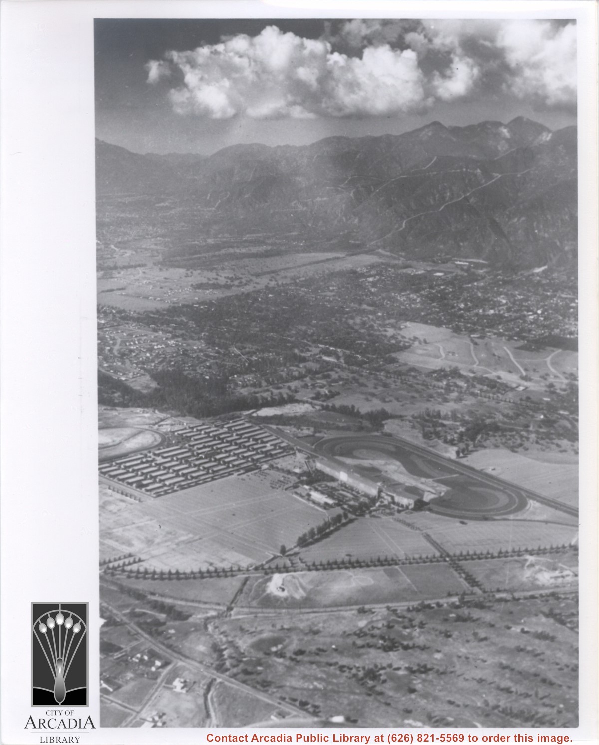
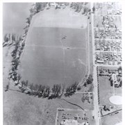
Aerial view taken from about over what became Campus Drive and Arcadia High School, and looking toward (NW) Pasadena and Sierra Madre at foot of San Gabriel Mountains. Photo shows Santa Anita Park Race Track possibly just a few years after opening.
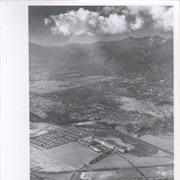
Aerial view looking north across Santa Anita Park from a position over Arcadia County Park. Large infield crowd is evident and all parking areas are filled. Arcadia Methodist Hospital shows in lower left part of photo and Arcadia Police facility is seen in lower right. The 210 Foothill Freeway cuts across photo near the top.
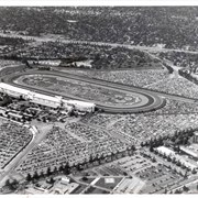
Aerial view showing Eaton's Santa Anita in foreground, looking south from Colorado Boulevard and Michillinda Avenue. Lucky Baldwin's one mile training track built in 1876 is visible with stud barn buildings on south end of track.
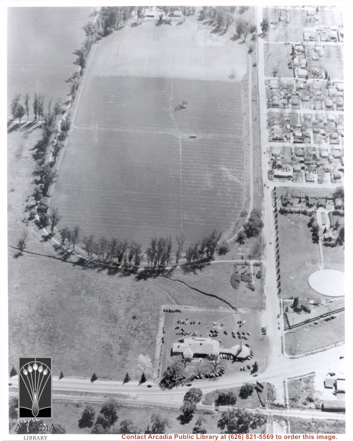
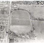
Aerial view of Rancho Santa Anita taken above Dairy, looking north, with 5,000,000 gallon reservoir in lower left, and Baldwin's one mile training track built in 1876 with stud barn buildings on south end of track. Eaton's Santa Anita at Colorado Boulevard and Michillinda Avenue just visible at top of photo.