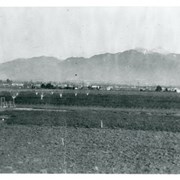
View north toward mountains from Mauch five acre ranch which was near corner of Palm Avenue and Holly Avenue. Note some young walnut trees have been set out and a chicken house has been built (left). There is snow on Mount Wilson. Street on right is Holly Avenue.
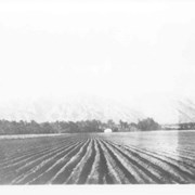
Spring 1935. Santa Anita Rancho field crops of many varieties were grown. View is toward the north. San Gabriel mountains completely across the photo. Chantry Flats Road visible at right side. White barn prominent in center of photo.
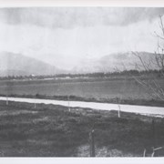
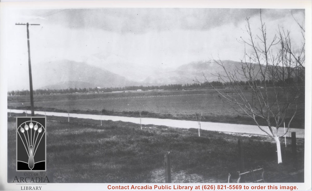
View toward NE on a winter's day that shows snow on San Gabriel Mountains. The street seen is Holly Avenue which has just been paved. This was taken from the Mauch Ranch on Holly Avenue near Palm Avenue.
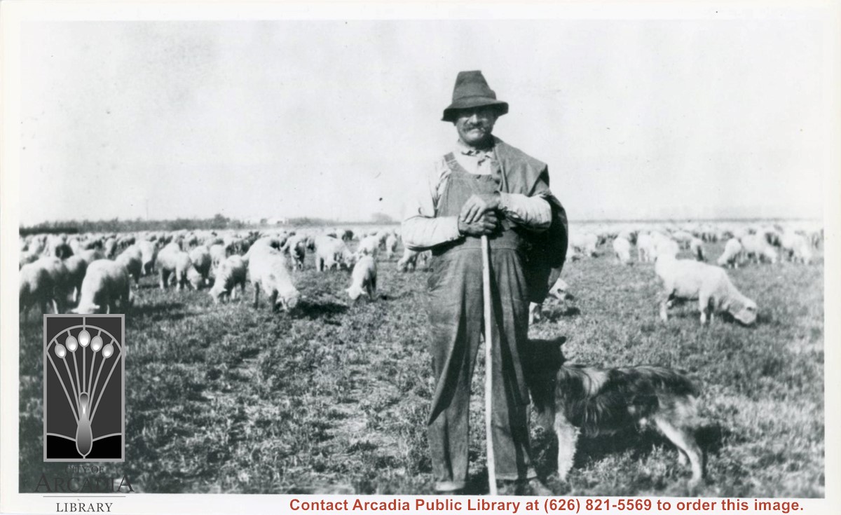
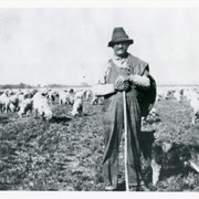
Unidentified sheepherder who would bring his flock to the fields across from Mauch ranch at Holly Avenue and Palm Avenue. He would bring the sheep after the field crop had been harvested to let them graze on stubble. Dog is also visible next to sheepherder.
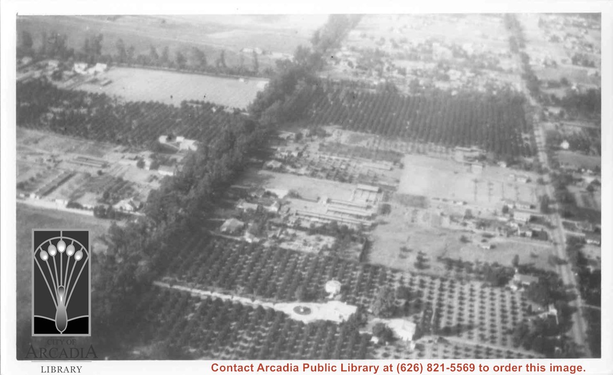
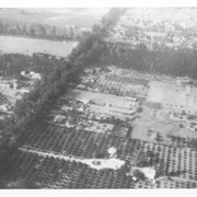
Aerial view north. Main tree-lined street is Santa Anita Avenue. Most of the orange grove in center of photo was owned by Jaspar Teague family. They had built a circular art gallery on their property at 1380 South Santa Anita Avenue. The large buildings north of Teague's and to the west of Santa Anita Avenue are chicken houses. Duarte Road is the east/west street across photo near top of photo.
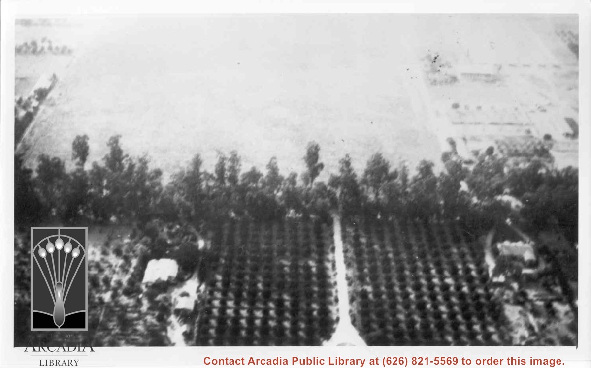
Aerial view west toward Santa Anita Ave. from above First Avenue, site of new grammar school. Long driveway heads to Jaspar N. Teague home in center of 10 acre orange grove. (Address in City Directory for this name is 1380 S. Santa Anita.) House to left and south was that of Charles W. Stewart in another 10 acre plot. Both ranches are now occupied by First Avenue Junior High School.