Skip header and navigation

4 records – page 1 of 1.

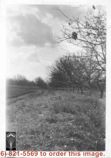
Church of Transfiguration is now located where this view shows. Path in photo is First Avenue of today. Shows what appears to be orchard and possible strawberry patch on left side of photo between First and Second Avenues.

https://arcadiahistory.andornot.com/en/permalink/photographs14
Date
c.1910-1915

  1 image

Date
c.1910-1915
Subjects
Agriculture
Church of the Transfiguration
Arcadia(City)-History-1903-1919
Physical Description
2x3 b&w vertical
ID
14
Collection
Photographs
Images
Less detail

Olive trees (orchard). Located about where City Hall is today (1976).

https://arcadiahistory.andornot.com/en/permalink/photographs3
Date
1947

  1 image

Date
1947
Subjects
Rancho Santa Anita
Agriculture
Arcadia(City)-History-1940-1949
Physical Description
8x10 b&w 2 prints 2 slides
ID
3
Collection
Photographs
Images
Less detail

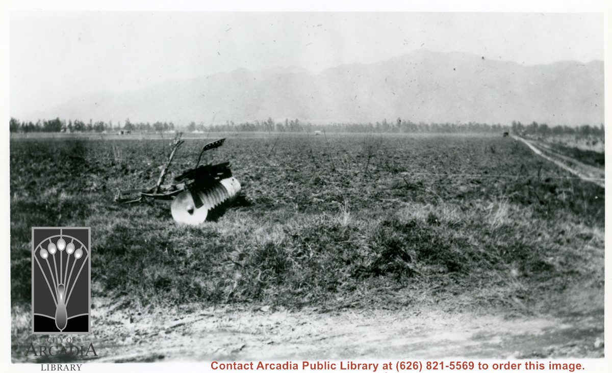
A disc plow sits in field in this view looking north toward mountains. This was very shortly after Mauch family bought the 5 acres near Palm Avenue and Holly Avenue. The dirt road on extreme right is Holly Avenue.

https://arcadiahistory.andornot.com/en/permalink/photographs1006
Date
Feb. 1922

  1 image

Date
Feb. 1922
Subjects
Agriculture
Holly Avenue
San Gabriel Mountains
Mauch, Aloyosius
Physical Description
6x10 b&w (this is left portion of a panorama - photo 1000 completes scene)
ID
999
Collection
Photographs
Images
Less detail

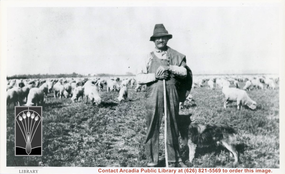
Unidentified sheepherder who would bring his flock to the fields across from Mauch ranch at Holly Avenue and Palm Avenue. He would bring the sheep after the field crop had been harvested to let them graze on stubble. Dog is also visible next to sheepherder.

https://arcadiahistory.andornot.com/en/permalink/photographs1004
Date
1926

  1 image

Date
1926
Subjects
Agriculture
Physical Description
6x10 b&w
ID
997
Collection
Photographs
Images
Less detail