Aerial view from position above Huntington Drive near Holly Avenue intersection looking north over Santa Anita Park. Colorado Place and Huntington Drive are seen coming together at right side of photo. Note how small the deodar (?) trees planted along Huntington Drive and Colorado Place are. Row of trees seen in center of photo were apparently left from Ranch days and were later removed.
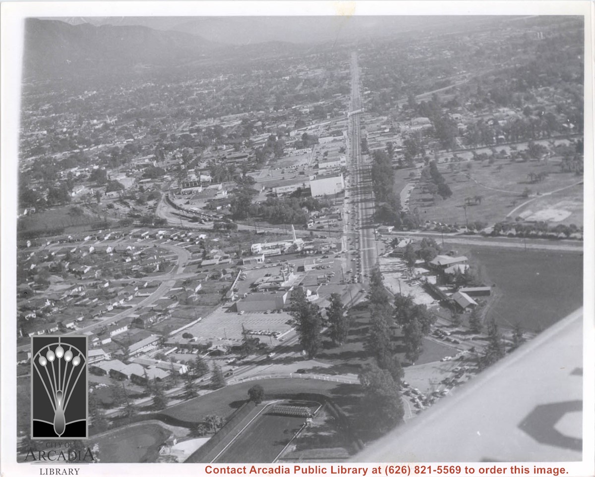
Aerial view looking east along Huntington Drive taken over the Club House at Santa Anita Park Race Track. Pony Express Museum is just to right of the "y" intersection of Huntington Drive coming into Arcadia just below the wing of the plane. Theater that was opened in 1942 is almost directly opposite Museum. Santa Anita Motor Inn, two buildings east of theater, distinguished by tall tower, opened in 1938. (It was torn down in 1975.) The residential area directly north of there is known as Santa Anita Gardens. Santa Anita Avenue is just beyond Arcadia County Park on right.
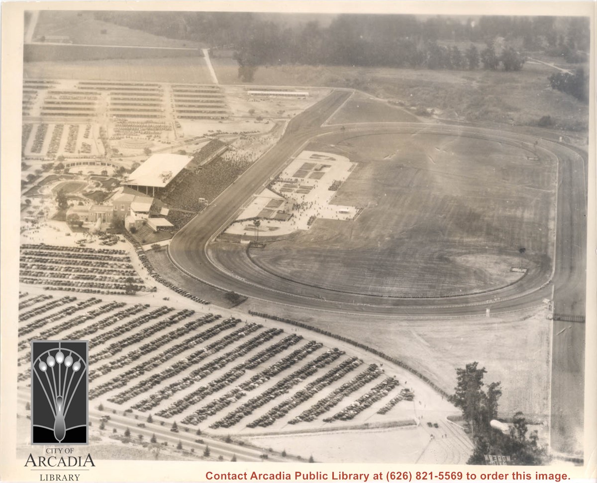
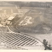
Aerial view looking west over Santa Anita Park. Photo was taken from about over intersection of Colorado Place and Huntington Drive. Note area that was to become Los Angeles County Arboretum across top of photo. Note an open Grandstand has been added to the west of original covered one. There is a small dirigible in lower right corner carrying a sign that seems to read:modern motel. Present Baldwin Avenue would run where road in this photo is seen parallel to top of photo.
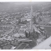
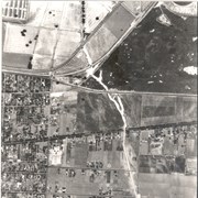
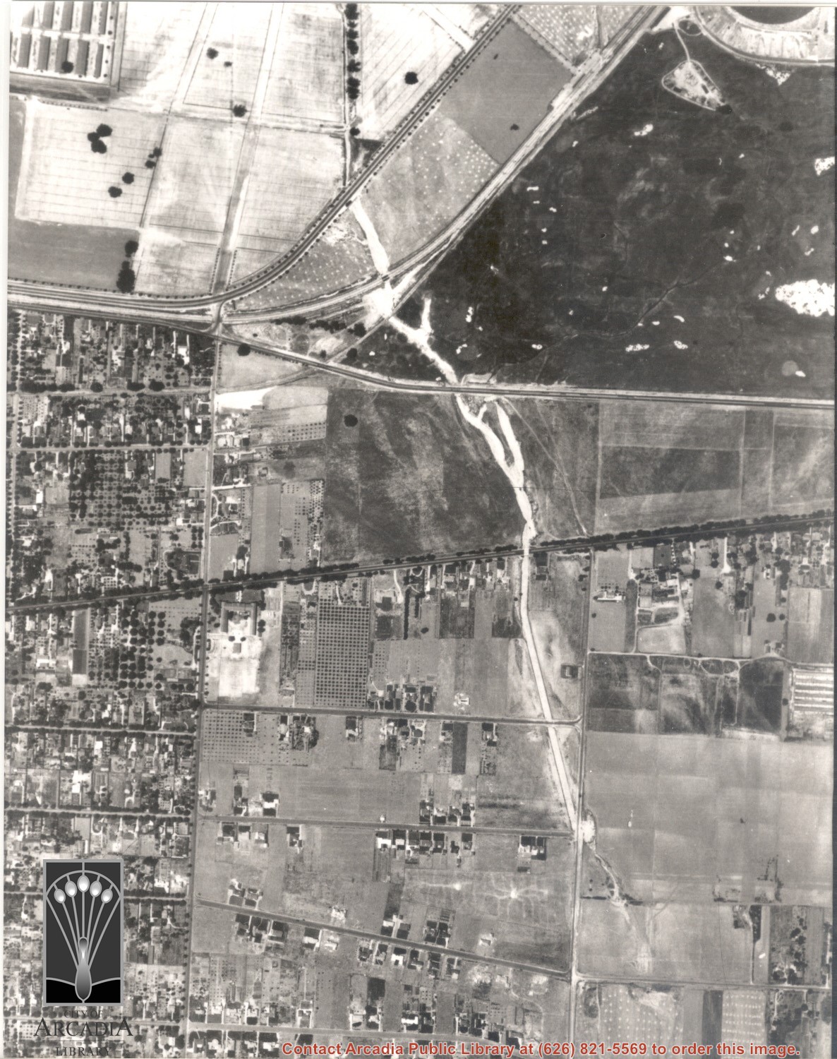
Duarte Road running east-west intersects the middle and a small portion of Santa Anita Park parking lot visible in the upper left. Enlargement of a section of photo ID 617.
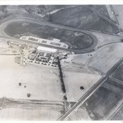
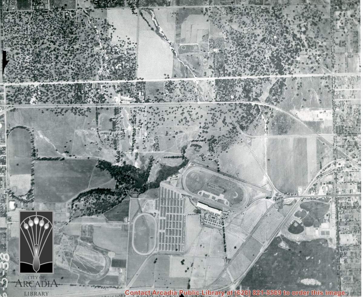
Michillinda Avenue is street running parallel to left edge of photo. Santa Anita Avenue is close to right edge of photo. Four tracks are in view. Left to right they would be: 1. Training track used by Elias J. "Lucky" Baldwin, 2. Aborted L. A. Jockey Club Track project of Anita Baldwin and Joe Smoot in 1933, 3. Small training track belonging to Santa Anita Park Race Track, and 4. Main track and grandstand of Santa Anita Park. Arcadia County Park is seen in lower right portion of photo.