View from grandstand at Santa Anita Race Track, in a ...
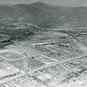
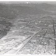
Aerial view looking towards San Gabriel Mountains showing intersection of ...
Aerial view toward NE. Main thoroughfare cutting across east to ...
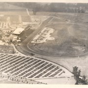
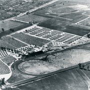
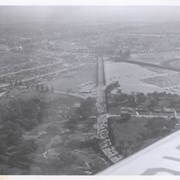
Aerial view looking west over Santa Anita Park. Photo was ...
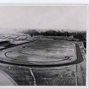
Aerial view from east looking west over Santa Anita Race ...
Aerial view looking west across Santa Anita Park from a ...
Aerial view toward the east taken from about over present ...
Aerial view. Looking east. Street along right edge of photo ...
Aerial view from position above Huntington Drive near Holly Avenue ...
Aerial view taken looking southeast from position about over present ...
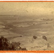
View west across San Gabriel Valley toward Pasadena from unknown ...
Aerial view of what appears to be either an informal ...
Aerial view looking east across Santa Anita Park taken from ...
Aerial view looking northeast across Santa Anita Park toward mountains. ...
Aerial view toward north from a position south of Huntington ...
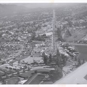
Aerial view looking east along Huntington Drive taken over the ...
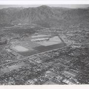
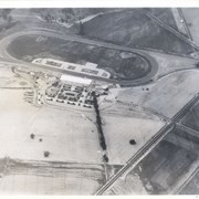
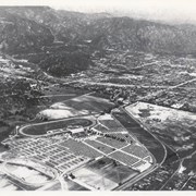
Santa Anita Park Race Track just right of center at ...
Aerial view north toward San Gabriel Mountains from a position ...
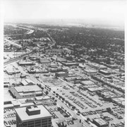
Aerial view south on Colorado Street just over large turn ...
Aerial view toward the east from location about over Santa ...