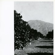
View north up Santa Anita Avenue with mountains in background. This photo was taken about where present Orange Grove Avenue intersects with Santa Anita Avenue. Note orange groves all along west side of Santa Anita as far as the mountains. Street is not paved.
https://arcadiahistory.andornot.com/en/permalink/photographs584
- Date
- 1916
1 image
- Date
- 1916
- Subjects
- Santa Anita Avenue
- Agriculture
- Physical Description
- 8x11 b&w
- ID
- 580
- Collection
- Photographs
Images
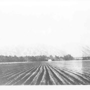
Spring 1935. Santa Anita Rancho field crops of many varieties were grown. View is toward the north. San Gabriel mountains completely across the photo. Chantry Flats Road visible at right side. White barn prominent in center of photo.
https://arcadiahistory.andornot.com/en/permalink/photographs15
- Date
- Spring 1935
1 image
- Date
- Spring 1935
- Physical Description
- 6x10 b&w 2 prints
- ID
- 15
- Collection
- Photographs
Images

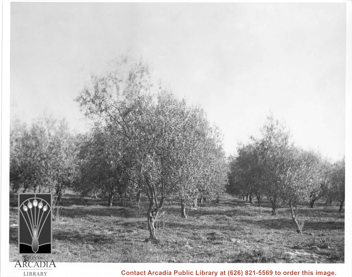
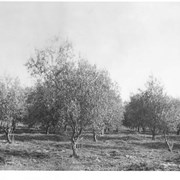
Olive trees (orchard). Located about where City Hall is today (1976).
https://arcadiahistory.andornot.com/en/permalink/photographs3
- Date
- 1947
1 image
- Date
- 1947
- Physical Description
- 8x10 b&w 2 prints 2 slides
- ID
- 3
- Collection
- Photographs
Images
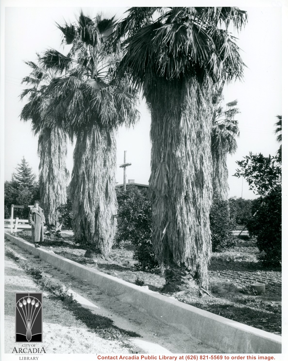
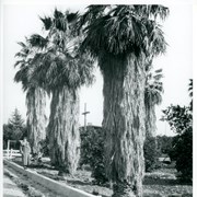
Unknown lady standing on street curbing beside three large palm trees which adjoin a citrus orchard. Location in city is not known, but possibly Santa Anita. Note deep curbs to control rain run-off.
https://arcadiahistory.andornot.com/en/permalink/photographs604
- Date
- c.1930's
1 image
- Date
- c.1930's
- Subjects
- Agriculture
- Santa Anita Avenue
- Physical Description
- 8x10 b&w
- ID
- 600
- Collection
- Photographs
Images
Intersection of Santa Anita Avenue and Duarte Road. There is a large orchard of some kind on the southeast corner. Enlargement of a section of photo ID 618.
https://arcadiahistory.andornot.com/en/permalink/photographs1451
- Date
- 1938
1 image
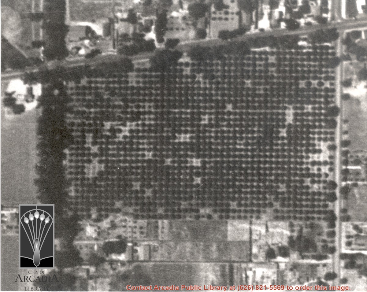
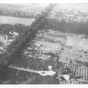
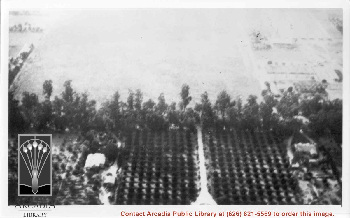
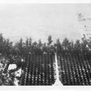
Aerial view north. Main tree-lined street is Santa Anita Avenue. Most of the orange grove in center of photo was owned by Jaspar Teague family. They had built a circular art gallery on their property at 1380 South Santa Anita Avenue. The large buildings north of Teague's and to the west of Santa Anita Avenue are chicken houses. Duarte Road is the east/west street across photo near top of photo.
https://arcadiahistory.andornot.com/en/permalink/photographs645
- Date
- November 1929
1 image
- Date
- November 1929
- Subjects
- Aerial Photo Collection
- Aerial views
- Agriculture
- Duarte Road
- Orange groves
- Poultry
- Santa Anita Avenue
- Teague, Jaspar
- Physical Description
- 6x10 b&w
- ID
- 641
- Collection
- Photographs
Images
Spring plowing on Baldwin Ranch. Shows 6 men, 8 mules or horses, ploughs. Same as Photo ID 125.
https://arcadiahistory.andornot.com/en/permalink/photographs11
- Date
- unknown
1 image
- Date
- unknown
- Subjects
- Rancho Santa Anita-1875-1909
- Agriculture
- Physical Description
- 8x10 b&w
- ID
- 11
- Collection
- Photographs
Images
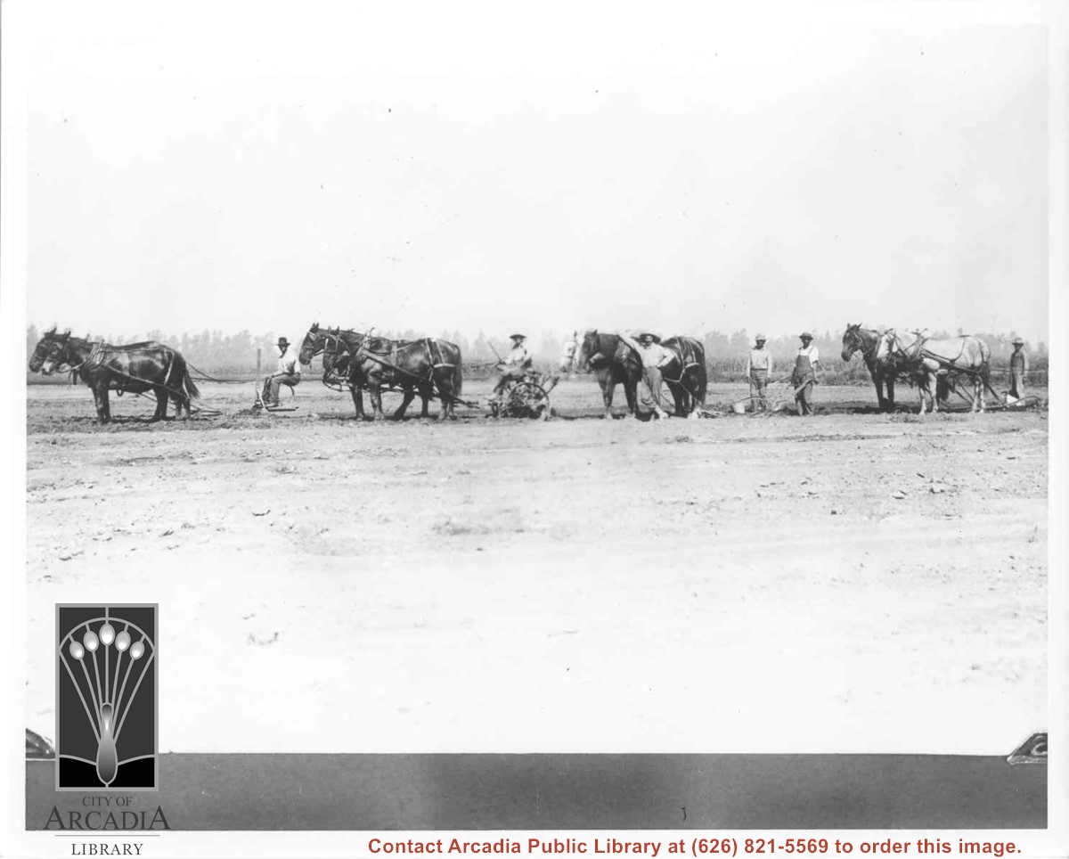
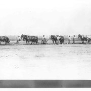
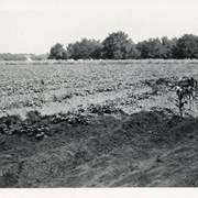
Photo shows field planted in rutabagas by Adele Strutzenberg's father at 1802 S. Santa Anita. Field extended from Santa Anita to Second Avenue.
https://arcadiahistory.andornot.com/en/permalink/photographs385
- Date
- c.1920
1 image
- Date
- c.1920
- Subjects
- Agriculture
- Strutzenberg, Louis
- Physical Description
- 2x4 b&w
- ID
- 383
- Collection
- Photographs
Images
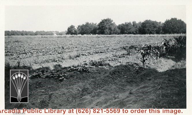
Church of Transfiguration is now located where this view shows. Path in photo is First Avenue of today. Shows what appears to be orchard and possible strawberry patch on left side of photo between First and Second Avenues.
https://arcadiahistory.andornot.com/en/permalink/photographs14
- Date
- c.1910-1915
1 image
- Date
- c.1910-1915
- Physical Description
- 2x3 b&w vertical
- ID
- 14
- Collection
- Photographs
Images
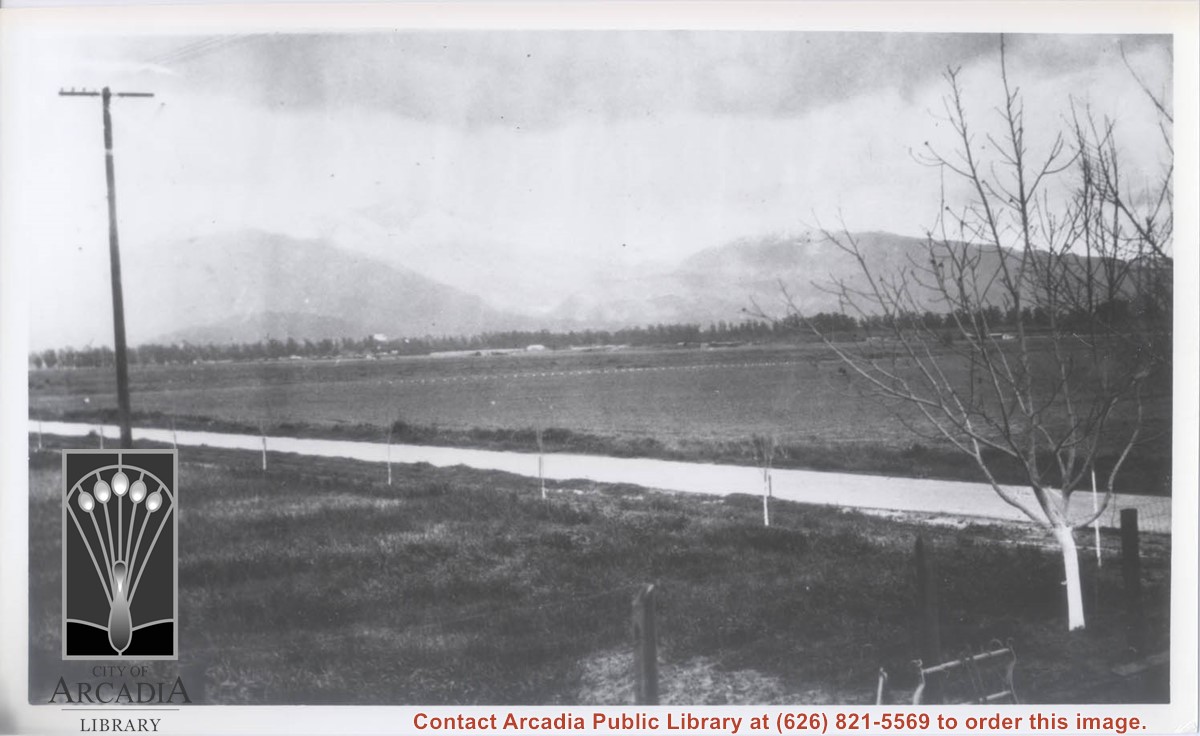
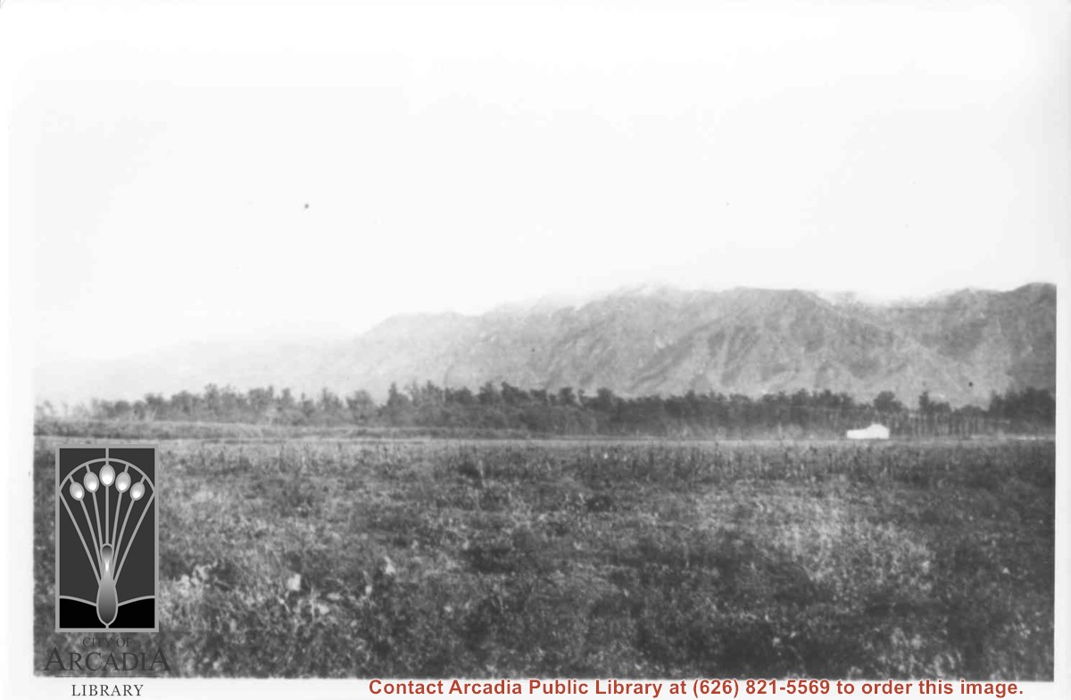
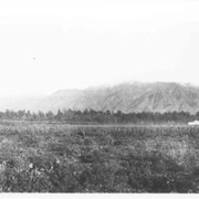
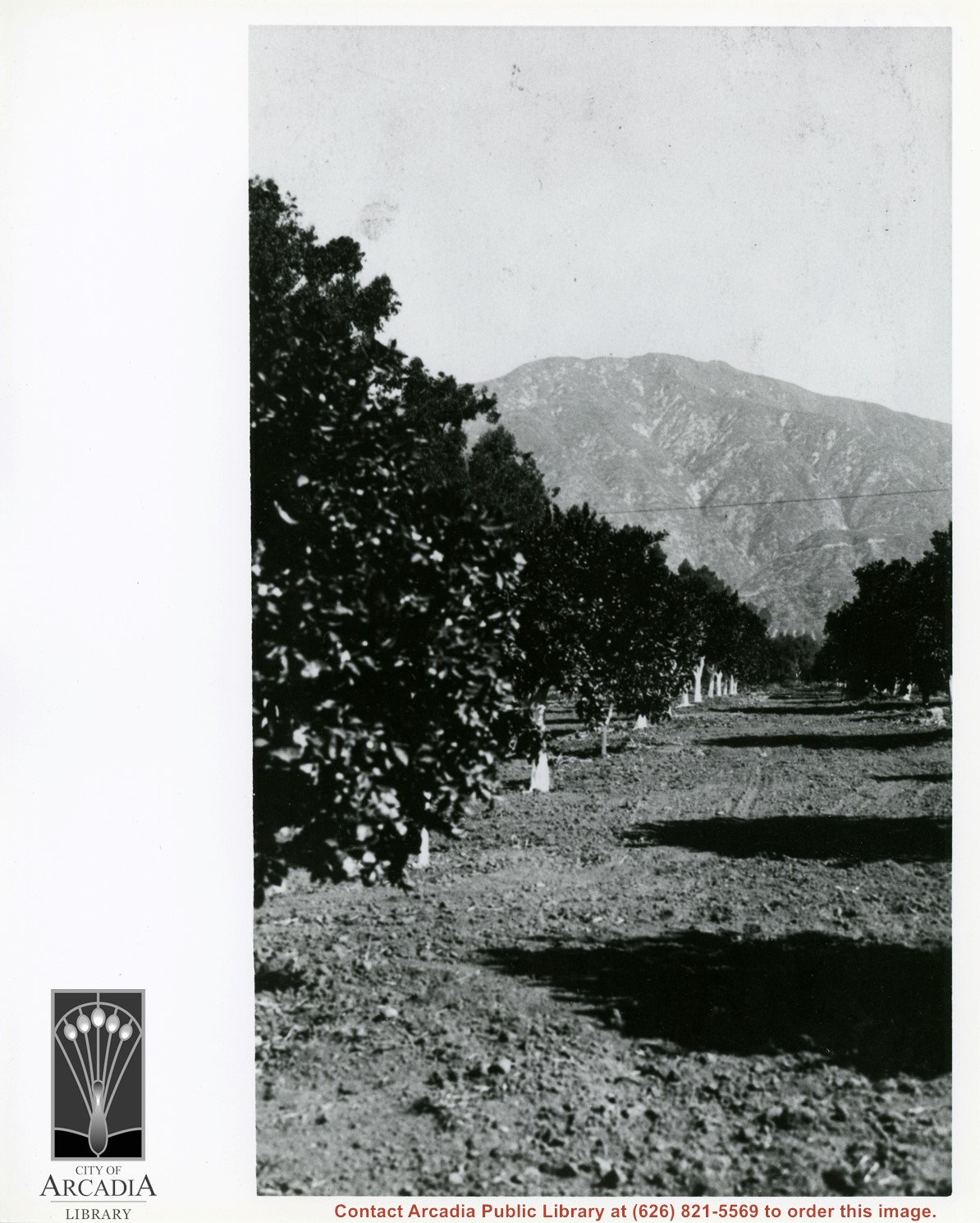
View across Santa Anita Rancho lands toward San Gabriel Mountains, looking north, slightly to the west.
https://arcadiahistory.andornot.com/en/permalink/photographs16
- Date
- probably 1935
1 image
- Date
- probably 1935
- Physical Description
- one 3x5, one 8x10 b&w
- ID
- 16
- Collection
- Photographs
Images
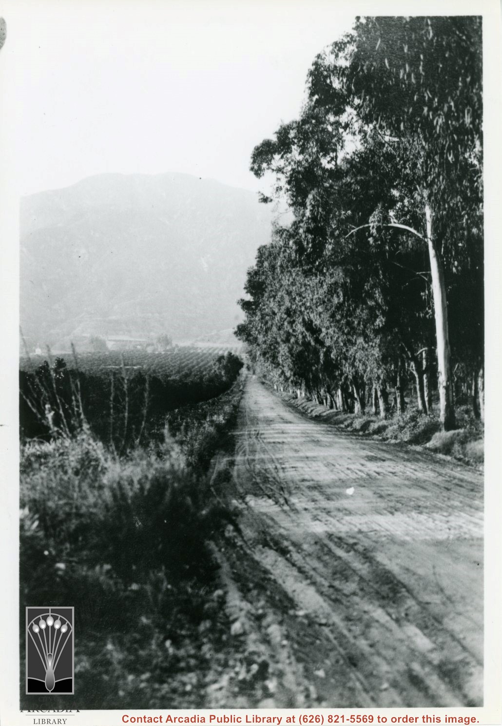
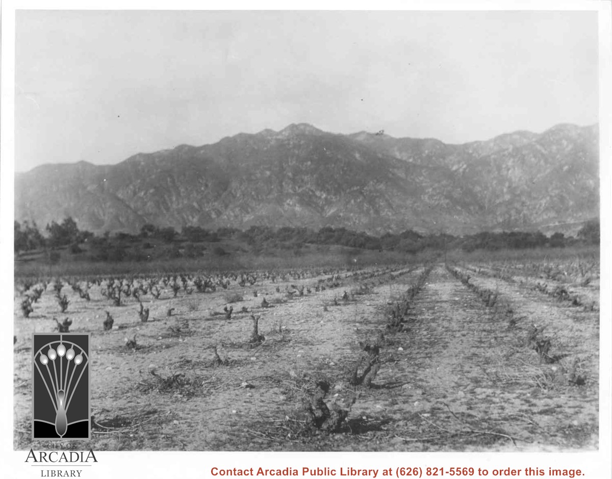
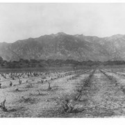
Vineyards on Baldwin Ranch. View is north from a point of present Huntington Drive. Chantry Flats Road is visible at right edge of photo. San Gabriel Mountains form background.
https://arcadiahistory.andornot.com/en/permalink/photographs2
- Date
- c.1900
1 image
- Date
- c.1900
- Subjects
- Agriculture
- Rancho Santa Anita
- Baldwin, Elias J. "Lucky" - Wines and winemaking
- San Gabriel Mountains
- Physical Description
- 8x10 b&w 2 prints 2 slides
- ID
- 2
- Collection
- Photographs
Images
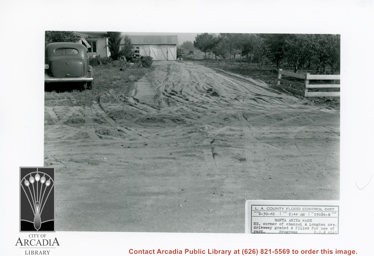
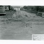
White house and garage at left, with driveway freshly graded. On right side of photo is part of a family orchard. Caption on photo reads: NE corner of Santa Anita Wash and Longden Avenue.
https://arcadiahistory.andornot.com/en/permalink/photographs824
- Date
- August 30, 1940
1 image
- Date
- August 30, 1940
- Subjects
- Agriculture
- Longden Avenue
- Flood control
- Physical Description
- 5x7 b&w
- ID
- 818
- Collection
- Photographs
Images
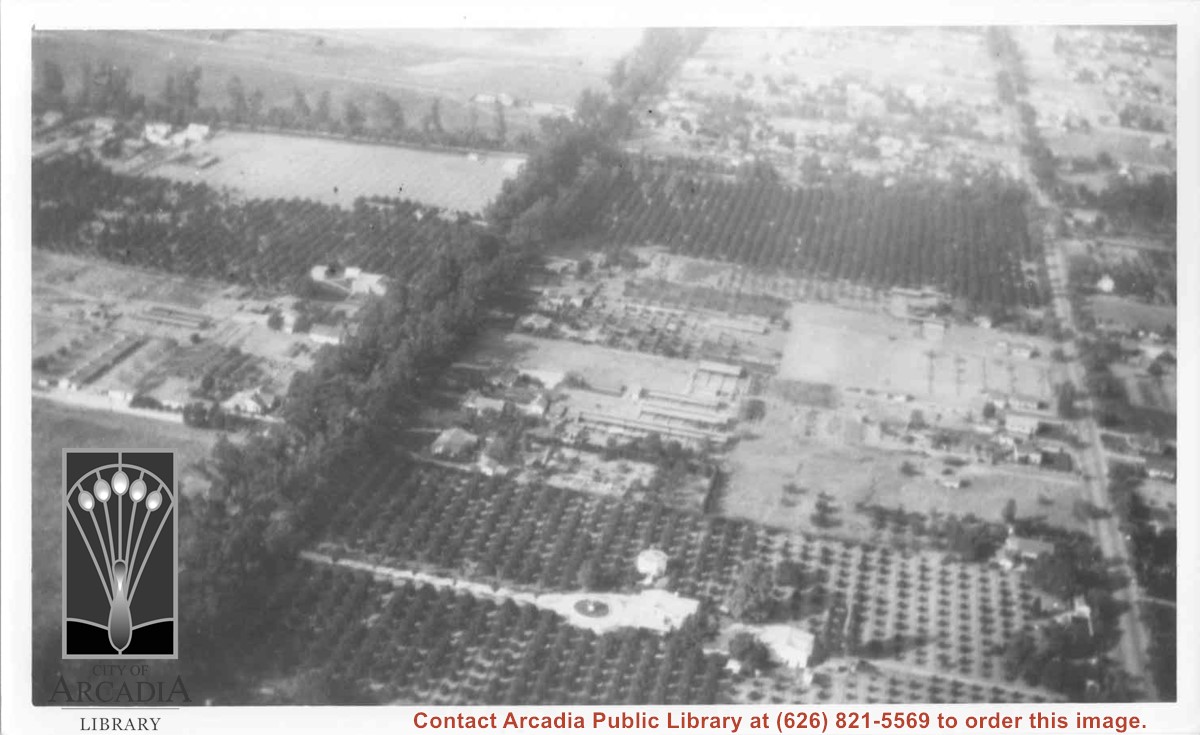
Aerial view west toward Santa Anita Ave. from above First Avenue, site of new grammar school. Long driveway heads to Jaspar N. Teague home in center of 10 acre orange grove. (Address in City Directory for this name is 1380 S. Santa Anita.) House to left and south was that of Charles W. Stewart in another 10 acre plot. Both ranches are now occupied by First Avenue Junior High School.
https://arcadiahistory.andornot.com/en/permalink/photographs12
- Date
- November 1929
1 image
- Date
- November 1929
- Subjects
- Houses
- Teague, Jaspar
- Stewart, Charles W.
- Agriculture
- First Avenue Junior High School
- Arcadia(City)-History-1920-1929
- Physical Description
- 6x10 b&w
- ID
- 12
- Collection
- Photographs
Images
Harry Ainsworth Ranch, upper grove looking north to mountains. Present day Highland Oaks School would be located about where trees block the end of the row of citrus trees.
https://arcadiahistory.andornot.com/en/permalink/photographs1081
- Date
- c.1916
1 image
- Date
- c.1916
- Subjects
- Agriculture
- Ainsworth Ranch
- Physical Description
- 8x10 b&w
- ID
- 1072
- Collection
- Photographs
Images
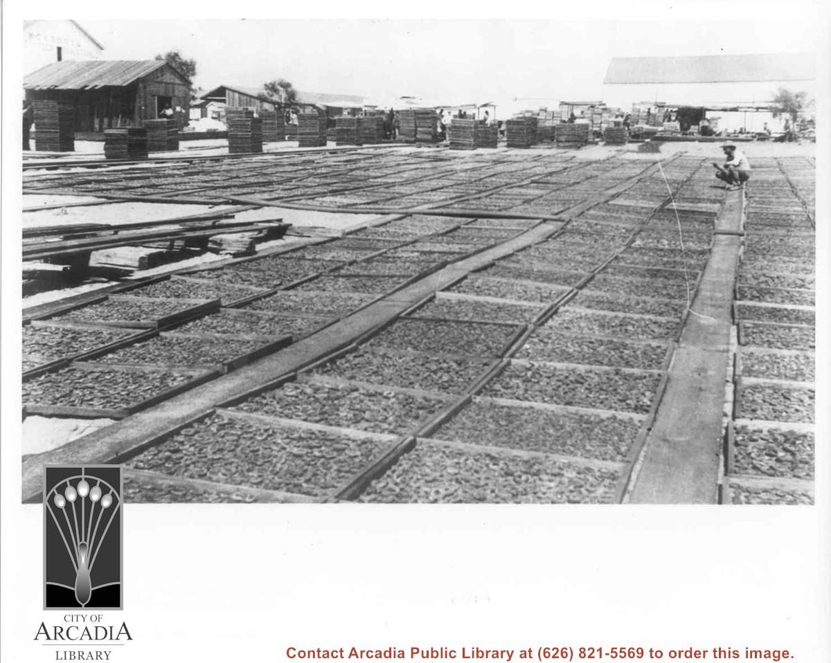
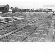
Drying Apricots - Monrovia. Baldwin had a similar yard at Huntington, east of Baldwin Avenue. Many of his apricots were used for brandy.
https://arcadiahistory.andornot.com/en/permalink/photographs4
- Date
- c.1900
1 image
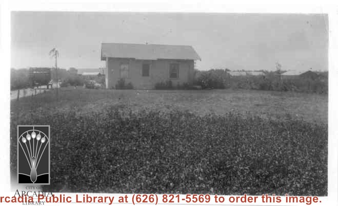
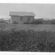
Home of Charles and Pearl Strong at 460 W. Duarte Road. View shows small clapboard house standing by itself. There is a high-sided trailer standing at left of house. What appears to be chicken houses show in the photo. Claimed to be first white leghorn chicken ranch in Arcadia.
https://arcadiahistory.andornot.com/en/permalink/photographs278
- Date
- 1921
1 image
- Date
- 1921
- Subjects
- Agriculture
- Houses
- Poultry
- Strong, Charles
- Physical Description
- 4 3/8 x 2 5/8 b&w
- ID
- 276
- Collection
- Photographs
Images
Chicken ranch buildings belonging to Roy H. Pike. Shows neat hedges along drive leading to buildings.
https://arcadiahistory.andornot.com/en/permalink/photographs7
- Date
- 1928-1930
1 image
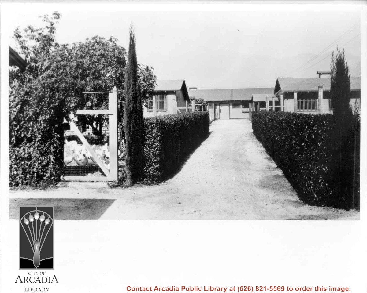
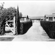
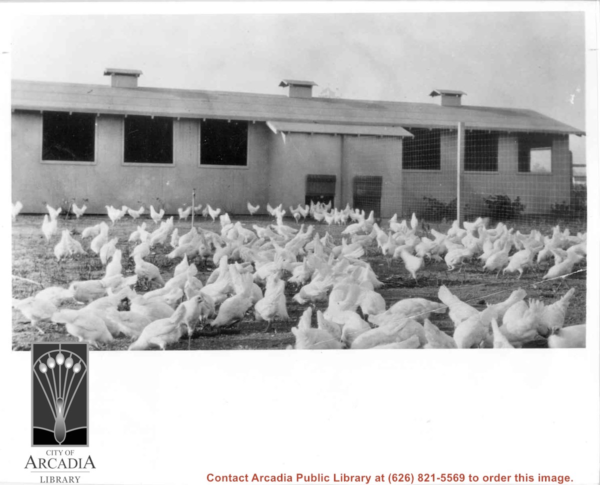
Photo of part of Roy Pike's chicken ranch at 641 W. Lemon. Foreground has many chicken coops with fencing showing on right side of photo.
https://arcadiahistory.andornot.com/en/permalink/photographs230
- Date
- c.1928-1930
1 image
- Date
- c.1928-1930
- Subjects
- Agriculture
- Pike, Roy
- Poultry
- Physical Description
- 8x10 b&w
- ID
- 228
- Collection
- Photographs
Images

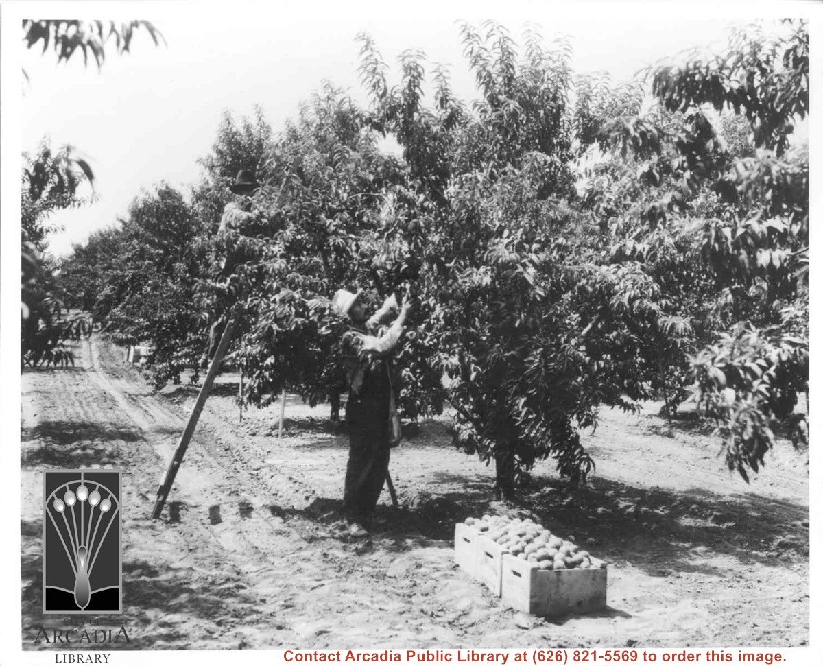
Cuccia Peach orchard, 60 acres from Lovell to Holly Avenue and Leroy to Norman. Shows one man on ladder picking in grove; one man standing picking; boxes of fruit.
https://arcadiahistory.andornot.com/en/permalink/photographs10
- Date
- c.1925
1 image
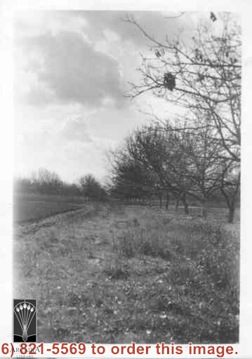
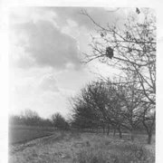
View toward NE on a winter's day that shows snow on San Gabriel Mountains. The street seen is Holly Avenue which has just been paved. This was taken from the Mauch Ranch on Holly Avenue near Palm Avenue.
https://arcadiahistory.andornot.com/en/permalink/photographs1009
- Date
- 1930
1 image