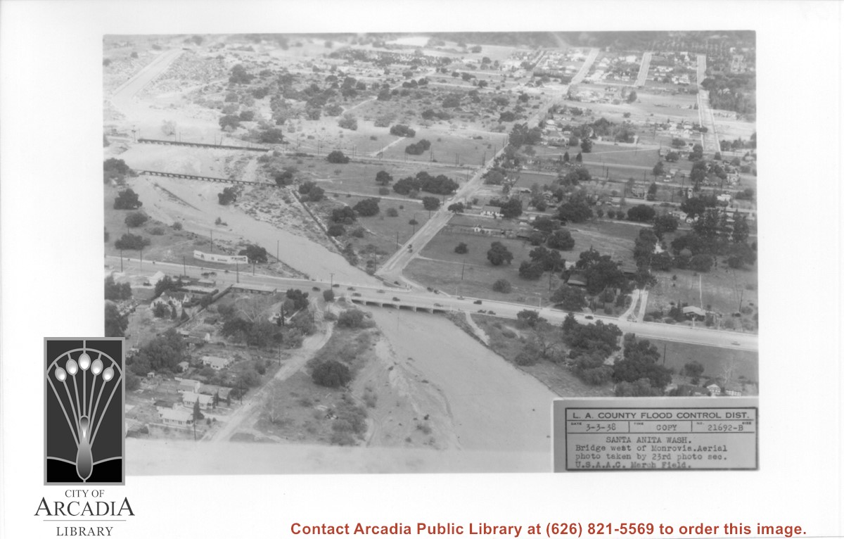
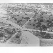
Aerial view looking north over flooded Santa Anita Wash looking upstream. Street cutting across photo closest to bottom is Huntington Drive. The next crossing upstream carries Santa Fe Railroad track. The last crossing that is clearly visible is Pacific Electric Railroad bridge. North/south street crossing Huntington Drive nearest wash would be Fifth Avenue. Foothill Boulevard is just barely visible near top of photo.
https://arcadiahistory.andornot.com/en/permalink/photographs815
- Date
- March 3, 1938
1 image
- Date
- March 3, 1938
- Subjects
- Aerial Photo Collection
- Aerial views
- Fifth Avenue
- Flood control
- Foothill Boulevard
- Huntington Drive
- Railroads
- Santa Anita Wash
- Physical Description
- 5x7 b&w
- ID
- 809
- Collection
- Photographs
Images
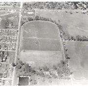
Aerial view showing Eaton's Santa Anita in foreground, looking south from Colorado Boulevard and Michillinda Avenue. Lucky Baldwin's one mile training track built in 1876 is visible with stud barn buildings on south end of track.
https://arcadiahistory.andornot.com/en/permalink/photographs1541
- Date
- March 7, 1940
1 image
- Date
- March 7, 1940
- Subjects
- Aerial Photo Collection
- Aerial views
- Baldwin, Elias J. "Lucky" - Horses and horse racing
- Colorado Boulevard
- Michillinda Avenue
- Rancho Santa Anita
- Restaurants, bars, etc - Eaton's Santa Anita Hotel and Restaurant
- Physical Description
- 8x10 b&w
- ID
- 1525
- Collection
- Photographs
Images
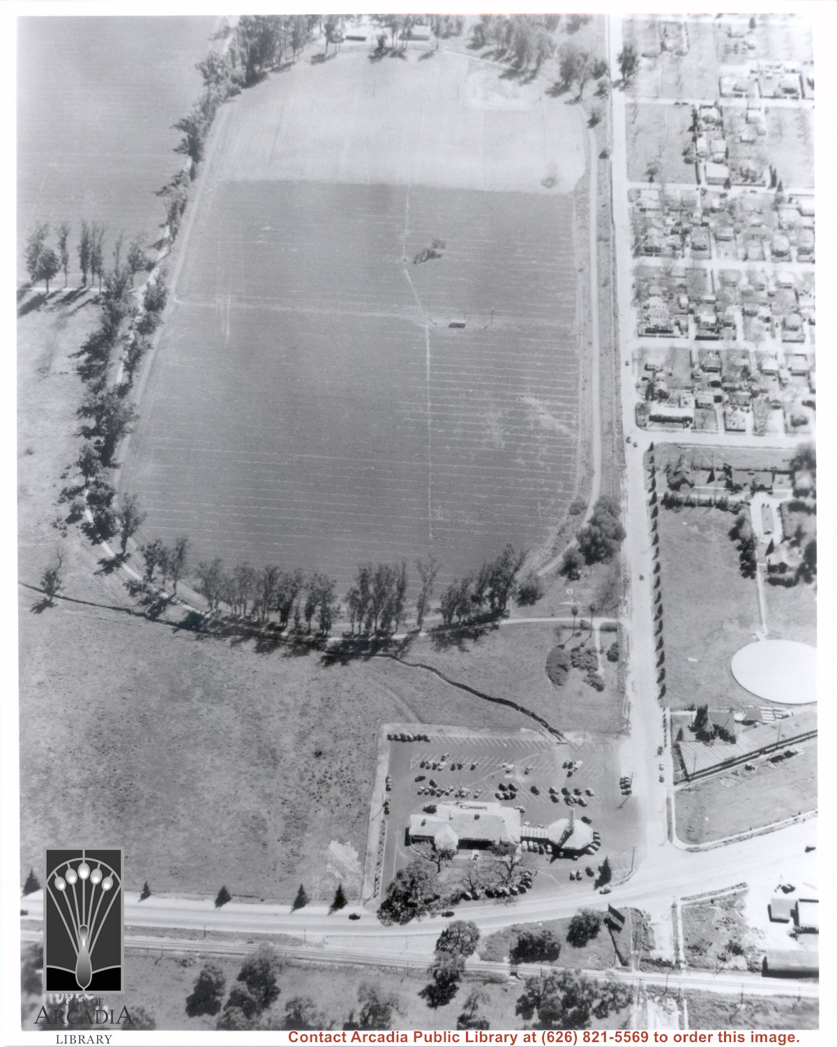
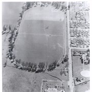
Aerial view of Rancho Santa Anita taken above Dairy, looking north, with 5,000,000 gallon reservoir in lower left, and Baldwin's one mile training track built in 1876 with stud barn buildings on south end of track. Eaton's Santa Anita at Colorado Boulevard and Michillinda Avenue just visible at top of photo.
https://arcadiahistory.andornot.com/en/permalink/photographs1542
- Date
- March 7, 1940
1 image
- Date
- March 7, 1940
- Subjects
- Aerial Photo Collection
- Aerial views
- Baldwin, Elias J. "Lucky" - Horses and horse racing
- Colorado Boulevard
- Michillinda Avenue
- Rancho Santa Anita
- Restaurants, bars, etc - Eaton's Santa Anita Hotel and Restaurant
- Physical Description
- 8x10 b&w
- ID
- 1526
- Collection
- Photographs
Images