Copy of souvenir photo that may have been program cover ...
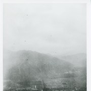
Aerial view north up Santa Anita Avenue. Note Chantry Flats ...
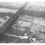
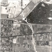
View northeast over Pacific Electric Railroad. Ross Field Balloon School ...
Aerial view toward the east taken from about over present ...
Aerial view toward NE. Plane is over property of Charles ...
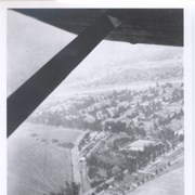
Aerial view north. Main tree-lined street is Santa Anita Avenue. ...
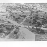
Aerial view from position above Huntington Drive near Holly Avenue ...
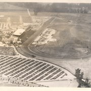
Aerial view looking west over Santa Anita Park. Photo was ...
Photographically reproduced copy of an old newspaper photo taken in ...
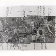
Aerial view of Arcadia. Photo is dated in lower left ...
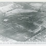
Aerial view looking northeast across Santa Anita Park toward mountains. ...
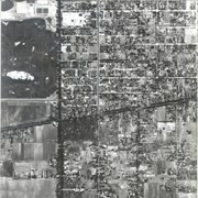
Santa Anita Avenue running north and south on the left ...
Duarte Road running east-west intersects the middle and a small ...
Intersection of Santa Anita Avenue and Duarte Road. There is ...
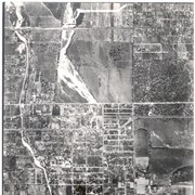
Aerial view looking north over flooded Santa Anita Wash looking ...
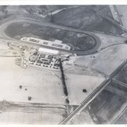
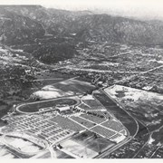
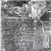
Santa Anita Park Race Track just right of center at ...
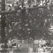
Dark, tree-lined street completely bisecting photo from west to east ...
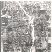
Most prominent physical feature is Santa Anita Wash running north ...
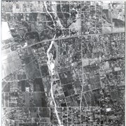
Main north/south running street to right of center is Michillinda ...
Main road crossing photo east to west in top third ...
![Copy of souvenir photo that may have been program cover for something called Flying Circus held February 22, 1919. Shows left to right: [a] bi-plane; [b] parachute and balloon in same shot; [c] balloon being secured by group of men; [d] parachute coming to the ground with group of people watching. [e] ? [f] aerial view of base.](/media/Images/183.jpg?width=180&height=180&mode=crop&anchor=topcenter&404=no-img.jpg)