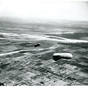
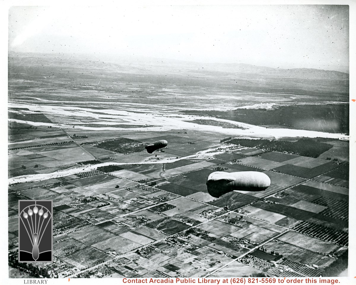
View east shows two balloons aloft over Arcadia and San Gabriel Valley. It is possible that first river up from bottom of photo is Rio Hondo Wash. Some of trees along Santa Anita appear to be in extreme lower right of photo. Tree-lined street showing in extreme lower left of photo is Duarte Road. Second river coming into photo about five inches up from bottom of photo would be San Gabriel River.
Aerial view of what appears to be either an informal horse show or possible horse sale with a great number of people in attendance. The location has been identified as near intersection of Las Tunas Drive and (with what seem to be railroad tracks in center) Temple City Boulevard. The building (we see only roof) in the lower left corner is Vernon's Pharmacy. The letters VGS can be seen over front entry. There are probably about 100 autos parked nearby. (There is another photo of this event, #539.)
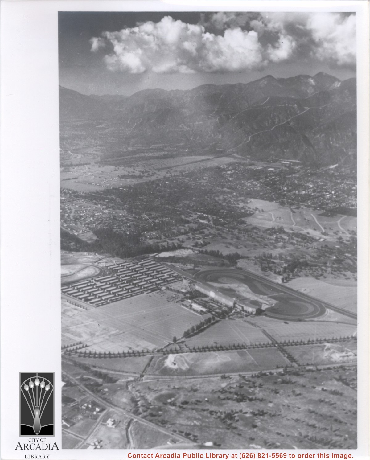
Aerial view taken from about over what became Campus Drive and Arcadia High School, and looking toward (NW) Pasadena and Sierra Madre at foot of San Gabriel Mountains. Photo shows Santa Anita Park Race Track possibly just a few years after opening.
Aerial view north up Santa Anita Avenue. Note Chantry Flats Road on mountain near right side of photo. This view was taken from just south of Huntington Drive. This image belongs to Arcadia Historical Society.
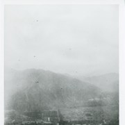
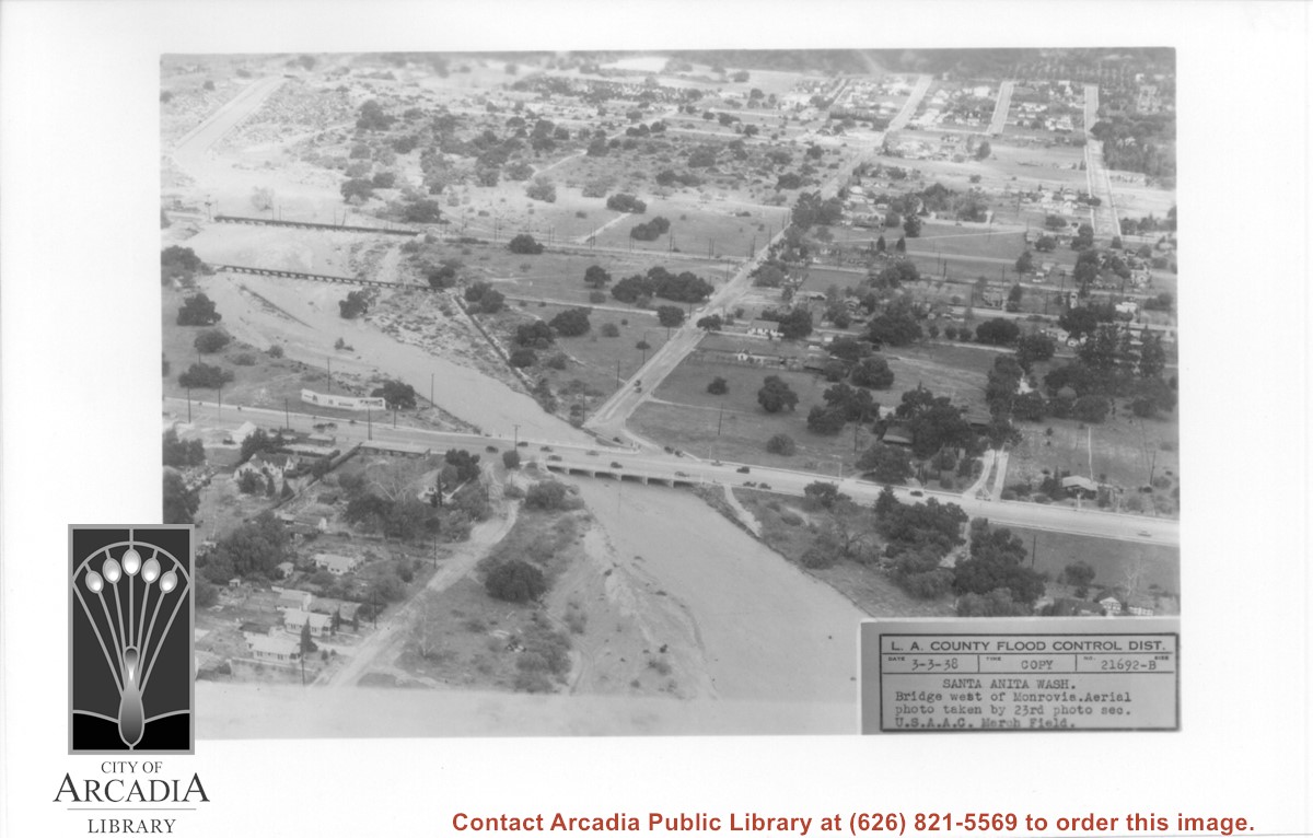
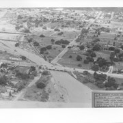
Aerial view looking north over flooded Santa Anita Wash looking upstream. Street cutting across photo closest to bottom is Huntington Drive. The next crossing upstream carries Santa Fe Railroad track. The last crossing that is clearly visible is Pacific Electric Railroad bridge. North/south street crossing Huntington Drive nearest wash would be Fifth Avenue. Foothill Boulevard is just barely visible near top of photo.
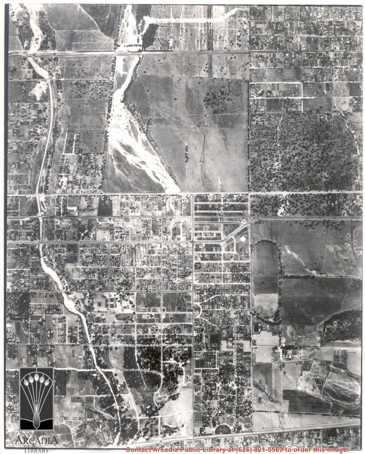
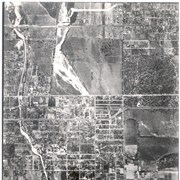
Main north/south running street to right of center is Michillinda Avenue. Oval adjacent to Michillinda Avenue is Elias J. "Lucky" Baldwin's training track. Lower right corner of photo is abandoned project of Anita Baldwin and Joe Smoot, c. 1933 (about where May Company was and where Vons, a Safeway Company, Southern California Division Headquarters is now, at 618 Michillinda Avenue). Street running east/west across center of photo is present day Colorado Boulevard. East/west-running street near top of photo is present Foothill Boulevard. Wash along left side of photo is Eaton Wash, Pasadena. Scale: 1 inch=660 feet.