Skip header and navigation

5 records – page 1 of 1.

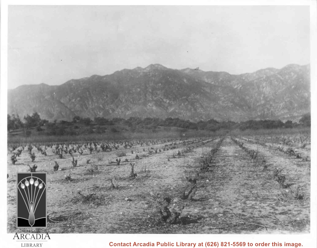
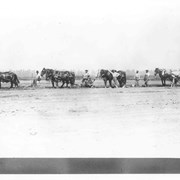
Vineyards on Baldwin Ranch. View is north from a point of present Huntington Drive. Chantry Flats Road is visible at right edge of photo. San Gabriel Mountains form background.

https://arcadiahistory.andornot.com/en/permalink/photographs2
Date
c.1900

  1 image

Date
c.1900
Subjects
Agriculture
Rancho Santa Anita
Baldwin, Elias J. "Lucky" - Wines and winemaking
San Gabriel Mountains
Physical Description
8x10 b&w 2 prints 2 slides
ID
2
Collection
Photographs
Images
Less detail

Drying Apricots - Monrovia. Baldwin had a similar yard at Huntington, east of Baldwin Avenue. Many of his apricots were used for brandy.

https://arcadiahistory.andornot.com/en/permalink/photographs4
Date
c.1900

  1 image

Date
c.1900
Subjects
Agriculture
Arcadia(City)-History-1903-1919
Physical Description
8x10 b&w 2 prints
ID
4
Collection
Photographs
Images
Less detail

Spring plowing on Baldwin Ranch. Shows 6 men, 8 mules or horses, ploughs. Same as Photo ID 125.

https://arcadiahistory.andornot.com/en/permalink/photographs11
Date
unknown

  1 image

Date
unknown
Subjects
Rancho Santa Anita-1875-1909
Agriculture
Physical Description
8x10 b&w
ID
11
Collection
Photographs
Images
Less detail

Aerial view looking east across Santa Anita Park taken from a position just west of Baldwin Avenue, which is seen at bottom of photo. Huntington Drive appears exactly in center of photo just east of race track. The 210 Foothill Freeway enters area in upper right portion of picture and exits at left side in upper left portion.

https://arcadiahistory.andornot.com/en/permalink/photographs996
Date
c.1979

  1 image

Date
c.1979
Subjects
Aerial Photo Collection
Aerial views
210 Foothill Freeway
Huntington Drive
Santa Anita Park-1945-1980
Physical Description
8x10 b&w
ID
989
Collection
Photographs
Images
Less detail

Aerial view toward north from a position south of Huntington Drive near intersection with Baldwin Avenue. It shows Santa Anita Fashion Park (currently known as Westfield Santa Anita Shopping Mall) developed by and on property owned by Santa Anita Consolidated. The Santa Anita Park Race Track and club house can be seen in center of photo. The straight white line about one inch above the club house roof is 210 Foothill Freeway. Chantry Flats road can be seen going up into San Gabriel Mountains in distance.

https://arcadiahistory.andornot.com/en/permalink/photographs646
Date
c. 1975

  1 image