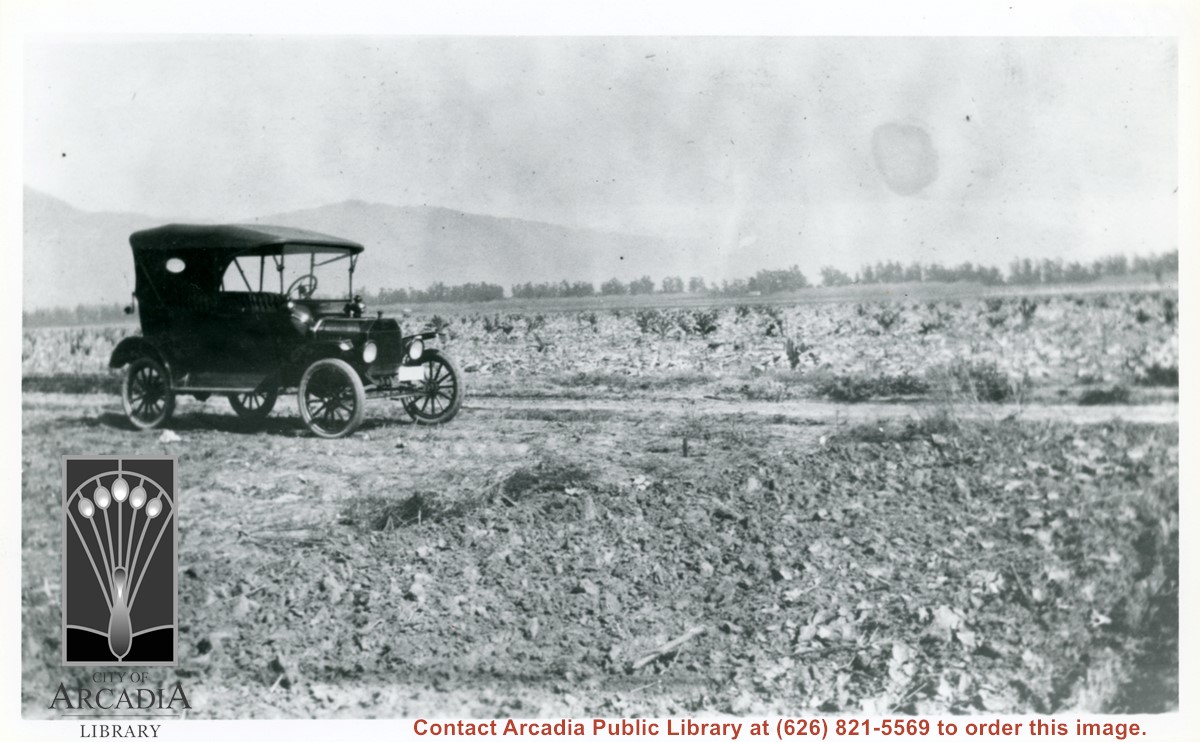
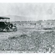
Car sitting alongside Holly Avenue at property just purchased by Aloyosius Mauch and his family near Palm Avenue and Holly Avenue. This view is toward NE.
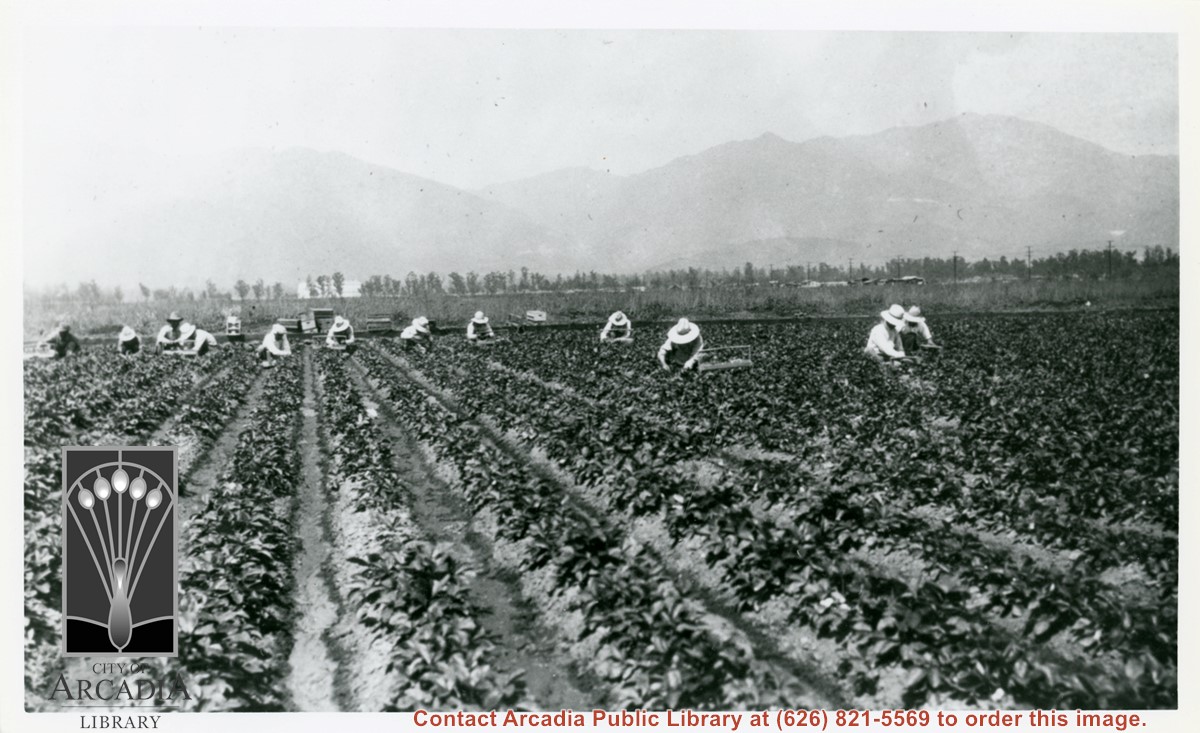
Twelve people are seen picking strawberries on the Mauch ranch at Palm Avenue and Holly Avenue. All are wearing hats. The large white-colored hangars still standing on the Balloon School property can be seen behind the trees in left half of photo.
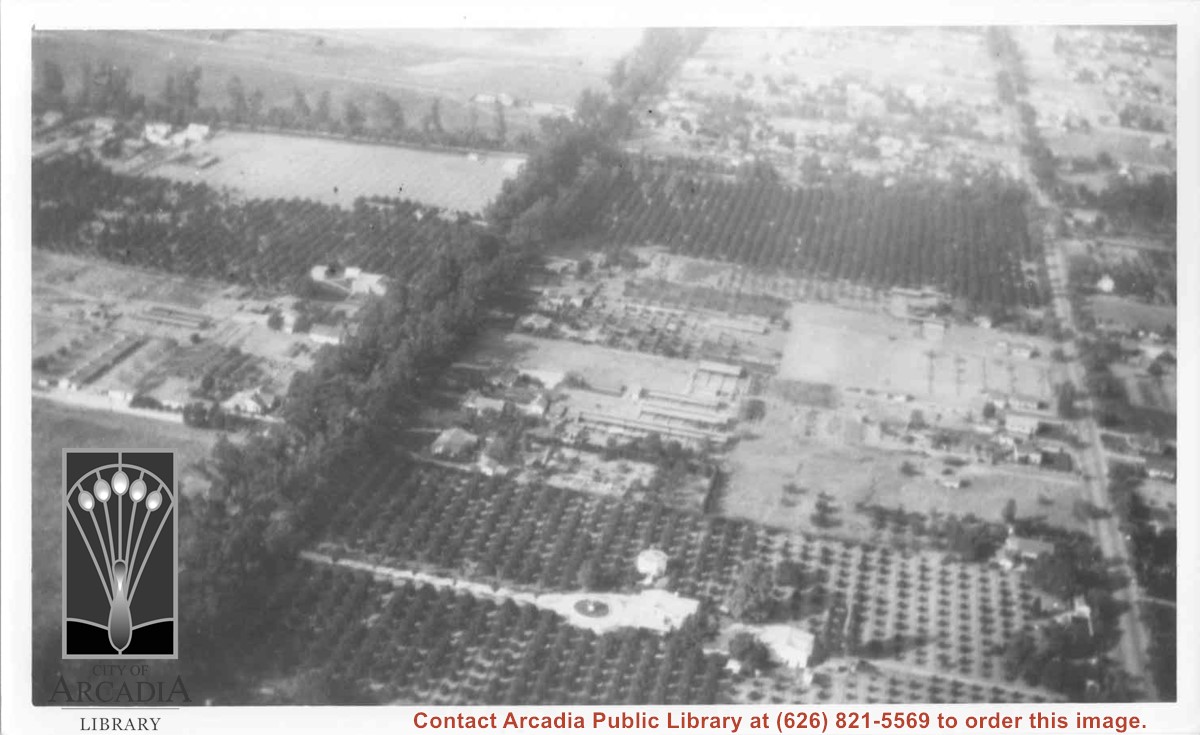
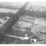
Aerial view north. Main tree-lined street is Santa Anita Avenue. Most of the orange grove in center of photo was owned by Jaspar Teague family. They had built a circular art gallery on their property at 1380 South Santa Anita Avenue. The large buildings north of Teague's and to the west of Santa Anita Avenue are chicken houses. Duarte Road is the east/west street across photo near top of photo.
Aerial view toward north from a position south of Huntington Drive near intersection with Baldwin Avenue. It shows Santa Anita Fashion Park (currently known as Westfield Santa Anita Shopping Mall) developed by and on property owned by Santa Anita Consolidated. The Santa Anita Park Race Track and club house can be seen in center of photo. The straight white line about one inch above the club house roof is 210 Foothill Freeway. Chantry Flats road can be seen going up into San Gabriel Mountains in distance.
About 1000 feet of sound walls will be built by the westbound lanes of the 210 Foothill Freeway between Second Avenue and Fifth Avenue. There is also discussion of future sound wall construction projects.