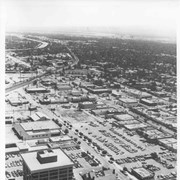
Aerial view toward the east from location about over Santa Anita Avenue at Santa Clara Street intersection. Santa Fe Railroad tracks are seen entering the city about in the center of photo. Broad white roadway seen toward left side of photo is 210 or Foothill Freeway still under construction.
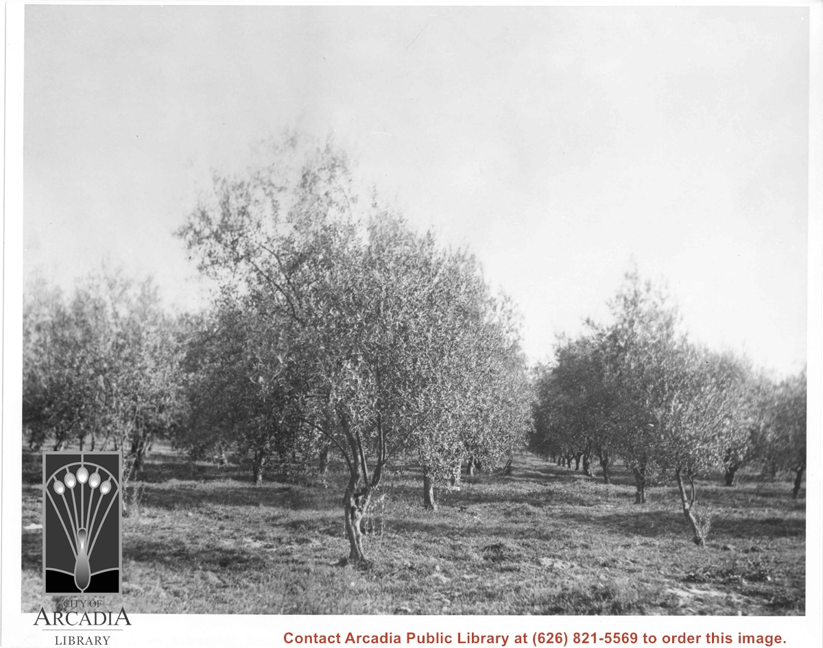
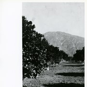
Harry Ainsworth Ranch, upper grove looking north to mountains. Present day Highland Oaks School would be located about where trees block the end of the row of citrus trees.
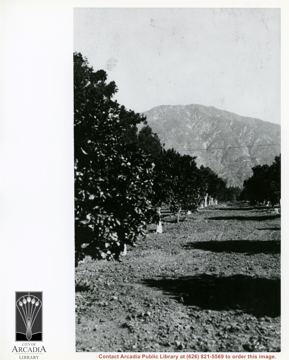
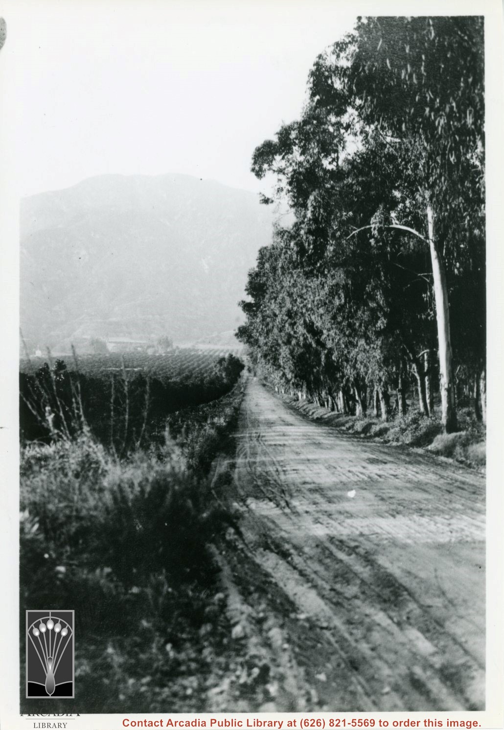
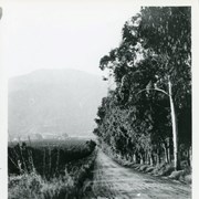
View north up Santa Anita Avenue with mountains in background. This photo was taken about where present Orange Grove Avenue intersects with Santa Anita Avenue. Note orange groves all along west side of Santa Anita as far as the mountains. Street is not paved.
Aerial view toward north from a position south of Huntington Drive near intersection with Baldwin Avenue. It shows Santa Anita Fashion Park (currently known as Westfield Santa Anita Shopping Mall) developed by and on property owned by Santa Anita Consolidated. The Santa Anita Park Race Track and club house can be seen in center of photo. The straight white line about one inch above the club house roof is 210 Foothill Freeway. Chantry Flats road can be seen going up into San Gabriel Mountains in distance.