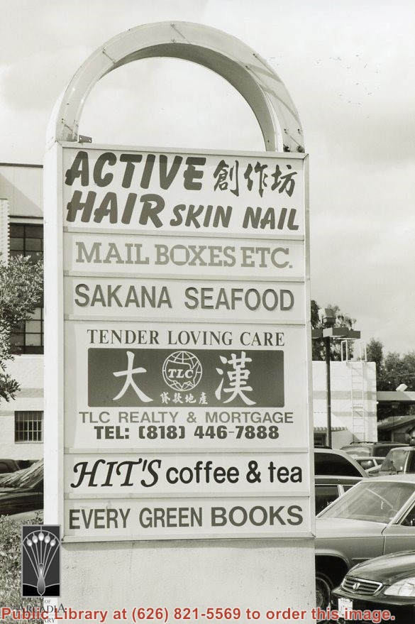
Sign for businesses at 713 West Duarte Road, just west of the northwest corner of Baldwin Avenue and Duarte Road. Businesses here are Active Hair, Mail Boxes Etc., Sakana Seafood, Tender Loving Care TLC Realty & Mortgage, Hit's Coffee & Tea, Every Green Books. Photograph by Terry Miller.
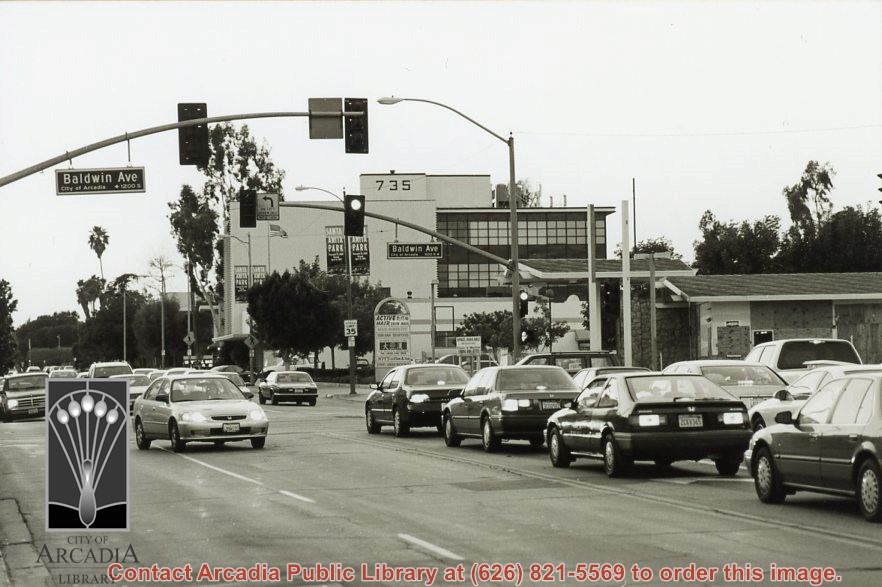
Northwest intersection of Baldwin Avenue and Duarte Road. Businesses just west of the corner at 713 West Duarte Road are Active Hair, Mail Boxes Etc., Sakana Seafood, Tender Loving Care TLC Realty & Mortgage, Hit's Coffee & Tea, Every Green Books. Looks like a gas station (boarded up) had been at the NW corner. The address 735 W. Duarte Road is apparent on one building. Photograph by Terry Miller.
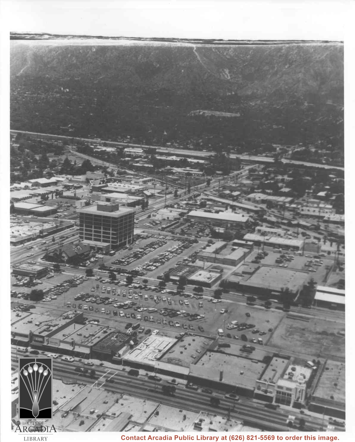
Aerial view north toward San Gabriel Mountains from a position above Huntington Drive near First Avenue. Santa Anita Avenue can plainly be seen running north and south in front of six-story building in center of photo. The 210 Foothill Freeway is top band running across photo from east to west.
Aerial view taken over Arcadia so that it shows a large area surrounding Arcadia as well as the entire city. Clearly seen is the Santa Anita Park Race Track, and the Arcadia County Park (shown as a dark triangle in center), and the 210 Foothill Freeway crossing photo from west to east and passing north of Santa Anita Park Race Track.
Aerial view looking east across Santa Anita Park taken from a position just west of Baldwin Avenue, which is seen at bottom of photo. Huntington Drive appears exactly in center of photo just east of race track. The 210 Foothill Freeway enters area in upper right portion of picture and exits at left side in upper left portion.