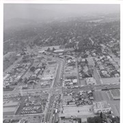
Aerial looking west from a position just east of First Avenue and just north of Wheeler Avenue. Large white barn-like roof is San Gabriel Valley Lumber Co. building. This later became the Sawmill Restaurant and in the early 1990's became Sports Rock Cafe. Directly opposite, is cleared land where Arcadia Public Library, Fire and Police were previously located. Today there is a Medical Building on the site (65 N. First Avenue). Santa Anita Park and parking lot are seen in the distance.
https://arcadiahistory.andornot.com/en/permalink/photographs999
- Date
- c.1977
1 image

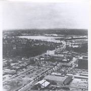
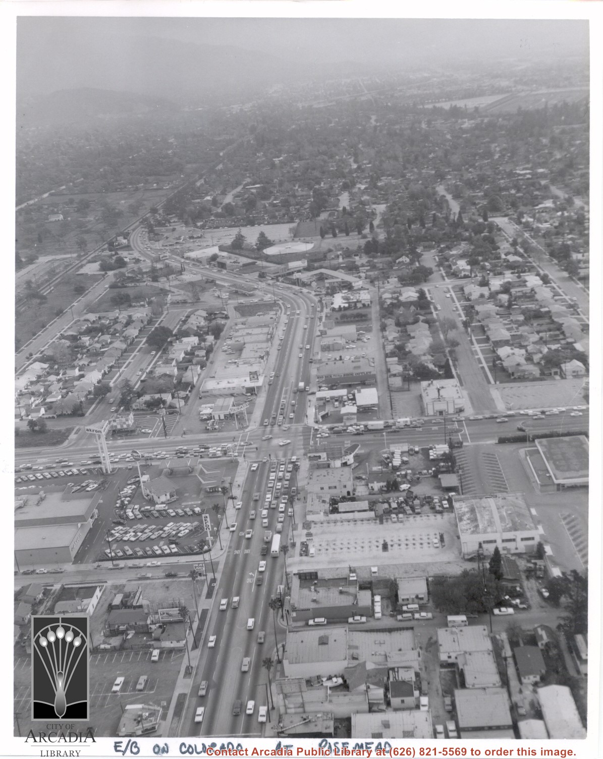
Aerial view looking east into Arcadia from near intersection of Rosemead Boulevard and Colorado Boulevard. Eaton's Santa Anita Hotel and Restaurant is still seen at far end of curve on south side of Colorado Boulevard and Michillinda Avenue (this is present site of Coco's Restaurant and Oak Tree Banquet Room, formerly Reuben's Restaurant, address 1150 W. Colorado Boulevard). The Santa Fe Railroad Tracks are seen just north of Colorado Boulevard. Large clear area in upper right portion of photo is Santa Anita Park Race Track.
https://arcadiahistory.andornot.com/en/permalink/photographs638
- Date
- c.1970
1 image
- Date
- c.1970
- Subjects
- Aerial Photo Collection
- Aerial views
- Colorado Boulevard
- Colorado Street
- Eaton's Santa Anita Hotel and Restaurant (1939-1969)
- Michillinda Avenue
- Railroads
- Santa Anita Park-1945-1980
- Physical Description
- 8x10 b&w
- ID
- 634
- Collection
- Photographs
Images
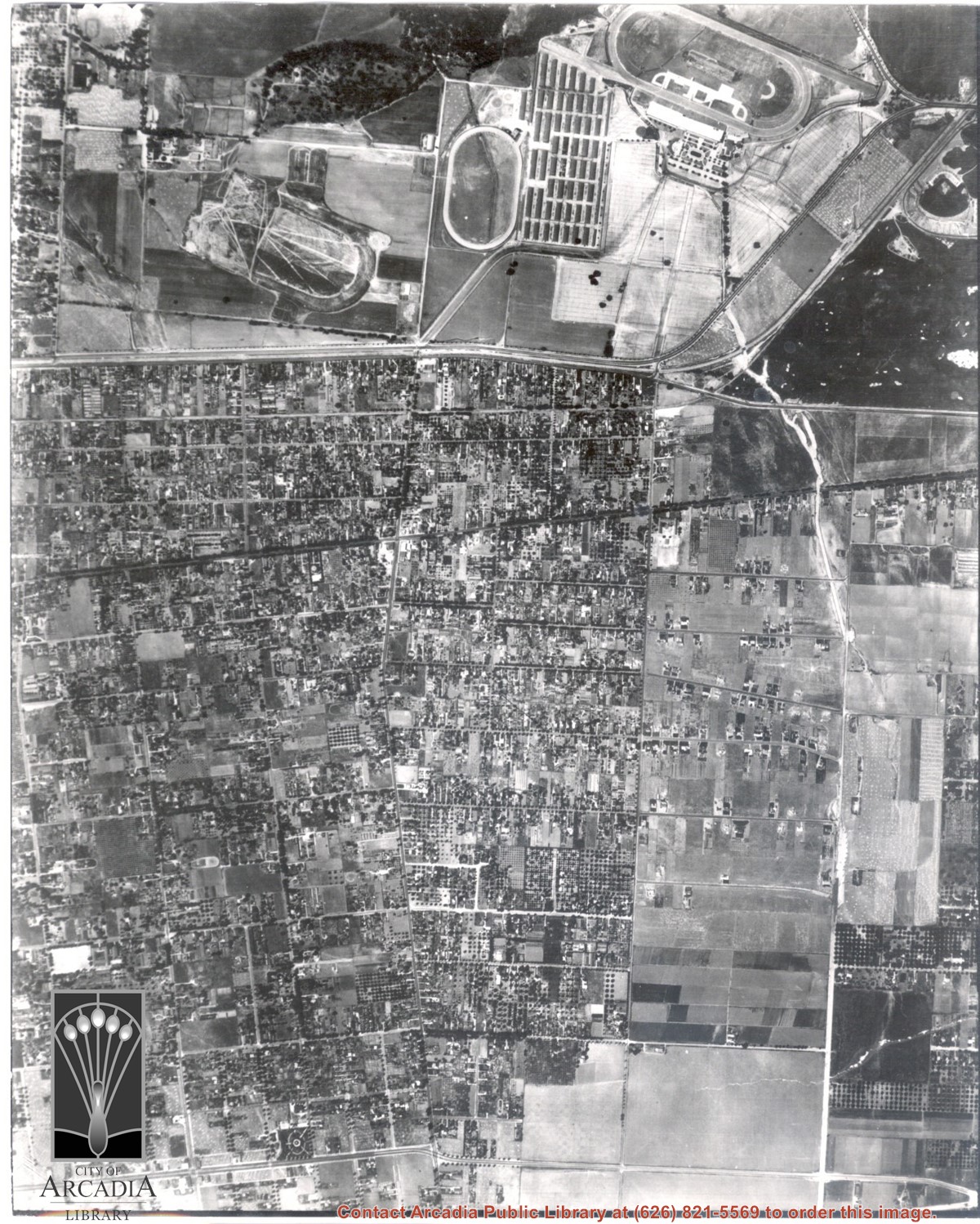
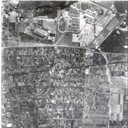
Dark, tree-lined street completely bisecting photo from west to east just above, is Duarte Road. Santa Anita Park Race Track is at upper right edge of photo. Smaller oval nearby is a training track. The incomplete oval in upper left is the race track that Anita Baldwin and Joe Smoot attempted to build in 1933 but abandoned the project. Huntington Drive and Colorado Place form a "y" just east of Santa Anita Park Race Track. Note grove of olive trees on land where City Hall is located today (240 W. Huntington Drive, Arcadia). Baseball diamond in upper right corner of photo, just below the convergence of the "y" is at Arcadia County Park. Corrected description as of 11/04/2008.
https://arcadiahistory.andornot.com/en/permalink/photographs621
- Date
- June 5, 1938
1 image
- Date
- June 5, 1938
- Subjects
- Aerial Photo Collection
- Aerial views
- Colorado Place
- Duarte Road
- Los Angeles Jockey Club
- Santa Anita Park-1934-1942
- Physical Description
- 8x10 b&w
- ID
- 617
- Collection
- Photographs
Images