View northeast over Pacific Electric Railroad. Ross Field Balloon School occupies portion on right side of photo over to the railroad tracks. The street marking its northern boundary would be Huntington Drive. The large rectangle just north of this street was Rancho Resevoir, converted into a swimming pool. The principal street marking east boundary of Balloon School property running north to south across this photo about at middle, is Santa Anita Avenue.
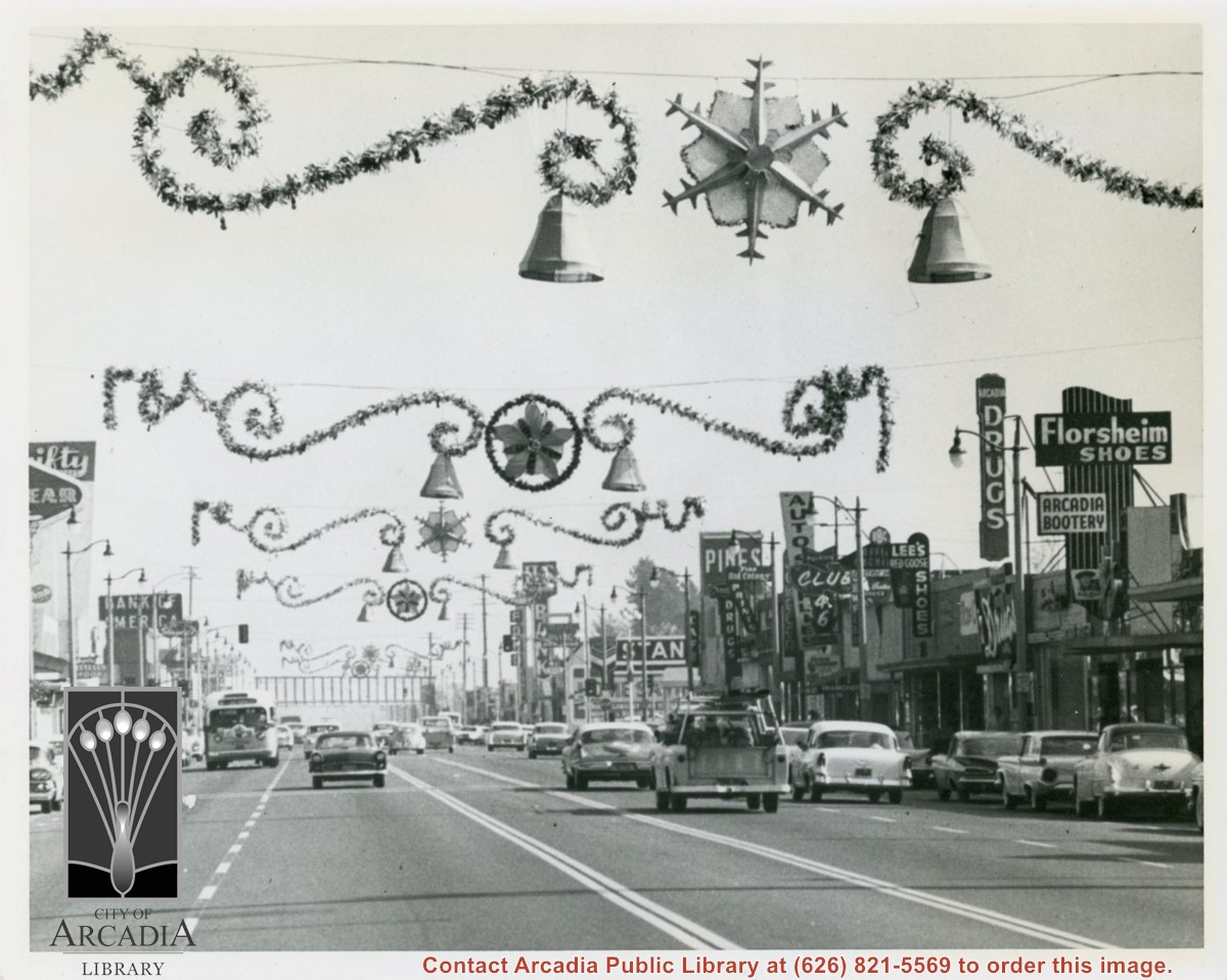
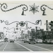
View east on Huntington Drive mid-way in block between Santa Anita and First Avenue during holiday season. Notice the Arcadia sign that had for many years hung over intersection at First Avenue has been removed (also referred to as a "Welcome" sign). Santa Fe Railroad overpass in view crossing over Huntington Drive.
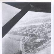
Looking SW from mountains north of Arcadia. Major tree-lined street running from mountains south is Santa Anita Avenue. Southernmost tree-lined street cutting across entire middle of photo is Duarte Road. Barracks at the Balloon School can be seen just below Huntington Drive. Notice that Huntington Drive stops just west of the Balloon School, at the Baldwin Ranch. Much of Foothill area was planted to citrus.
Santa Anita Park Race Track just right of center at south edge of photo. Oval to the left of Santa Anita Park Race Track was training track which was removed to make room for Santa Anita Fashion Park (currently Westfield Santa Anita Shopping Mall). Street just to left of training track is Baldwin Avenue. Huntington Drive and Colorado Place form a "y" just east of Santa Anita Park Race Track. Along both can be noticed the conifer trees planted a few years earlier. Street completely bisecting photo just below center is Foothill Boulevard, next one is Orange Grove Avenue. Santa Anita Avenue is partially in view on right edge of photo. Oval on extreme lower left side of photo is old Baldwin training track. Baseball diamond in lower right corner is at Arcadia County Park. Scale: 1"=660'