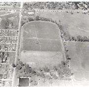
Aerial view showing Eaton's Santa Anita in foreground, looking south from Colorado Boulevard and Michillinda Avenue. Lucky Baldwin's one mile training track built in 1876 is visible with stud barn buildings on south end of track.
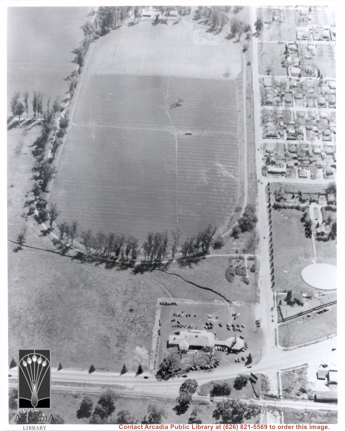
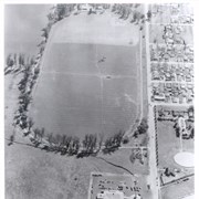
Aerial view of Rancho Santa Anita taken above Dairy, looking north, with 5,000,000 gallon reservoir in lower left, and Baldwin's one mile training track built in 1876 with stud barn buildings on south end of track. Eaton's Santa Anita at Colorado Boulevard and Michillinda Avenue just visible at top of photo.
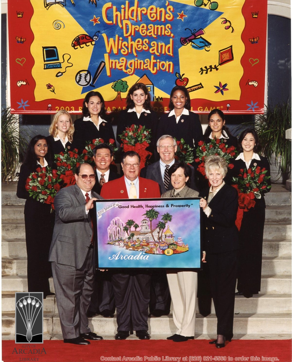
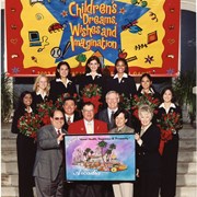
Gary Thomas, Arcadia resident and President of the 2003 Tournament of Roses, with Arcadia City Council members Gail Marshall (2002-2003 Mayor), Gary Kovacic, Mickey Segal and John Wuo holding artist's rendering of Arcadia's 2003 Rose Parade float entry. The 2003 Rose Court Princesses including Arcadia resident Anjali Agrawal are standing behind holding bouquets of red roses. A banner with the Rose Parade theme "Children's Dreams, Wishes and Imagination" is in the background.
Looking SW from mountains north of Arcadia. Major tree-lined street running from mountains south is Santa Anita Avenue. Southernmost tree-lined street cutting across entire middle of photo is Duarte Road. Barracks at the Balloon School can be seen just below Huntington Drive. Notice that Huntington Drive stops just west of the Balloon School, at the Baldwin Ranch. Much of Foothill area was planted to citrus.
Santa Anita Park Race Track just right of center at south edge of photo. Oval to the left of Santa Anita Park Race Track was training track which was removed to make room for Santa Anita Fashion Park (currently Westfield Santa Anita Shopping Mall). Street just to left of training track is Baldwin Avenue. Huntington Drive and Colorado Place form a "y" just east of Santa Anita Park Race Track. Along both can be noticed the conifer trees planted a few years earlier. Street completely bisecting photo just below center is Foothill Boulevard, next one is Orange Grove Avenue. Santa Anita Avenue is partially in view on right edge of photo. Oval on extreme lower left side of photo is old Baldwin training track. Baseball diamond in lower right corner is at Arcadia County Park. Scale: 1"=660'